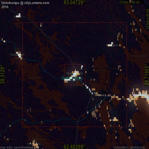
Outokumpu night lights from space
Night Light of Outokumpu (North Karelia) from space (Finland) Src. Average luminocity for 10x10km area is 19.6835% and for 50x50km: 2.2047%.
Analysis of Outokumpu night lights 2016
Square area 10x10 km:
 3.77%
3.77%90-99
6.45%80-89
1.19%70-79
2.38%60-69
0.5%50-59
1.59%40-49
0%30-39
0.4%20-29
0.1%10-19
22.12%0-9
61.51%Square area 50x50 km:
0.24%90-99
0.33%80-89
0.14%70-79
0.19%60-69
0.19%50-59
0.3%40-49
0.51%30-39
0.7%20-29
0.11%10-19
0.98%0-9
96.31%Clear (daylight) street map image can be seen on geolist.org.
Map coordinates:
63° 2' 50.2" North, 28° 18' 46.1" East
62° 43' 36.7" North, 29° 0' 57.3" East
62° 24' 10.4" North, 29° 43' 8.6" East
Some cities around Outokumpu sort by population:
• Joensuu
40.6 km =25.2 mi,  110°
110°
• Kontiolahti
42.5 km =26.4 mi,  84°
84°
• Liperi
28 km =17.4 mi,  140°
140°
• Leppävirta
68.4 km =42.5 mi,  247°
247°
• Pyhäselkä
58.6 km =36.4 mi,  123°
123°
• Eno
58.6 km =36.4 mi, 81°
• Juuka
57.5 km =35.7 mi,  11°
11°
• Juankoski
50.7 km =31.5 mi,  318°
318°
643453 (p: 7,738)
Sources (retrieved 2019-11-25):
» Earth at Night: Flat Maps 2012, 2016