Kalajoki night lights from space
Night Light of Kalajoki (Northern Ostrobothnia) from space (Finland) Src. Average luminocity for 10x10km area is 7.3257% and for 50x50km: 0.5941%.
Analysis of Kalajoki night lights 2016
Square area 10x10 km:
 0.38%
0.38%90-99
1.24%80-89
2.19%70-79
0.57%60-69
1.24%50-59
0.1%40-49
1.05%30-39
0.48%20-29
0.76%10-19
0.67%0-9
91.33%Square area 50x50 km:
0.03%90-99
0.07%80-89
0.14%70-79
0.11%60-69
0.09%50-59
0.06%40-49
0.04%30-39
0.08%20-29
0.03%10-19
0.11%0-9
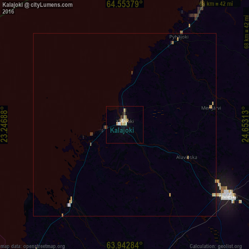
99.24%Clear (daylight) street map image can be seen on geolist.org.
Map coordinates:
64° 33' 13.6" North, 23° 14' 48.8" East
64° 15' 0" North, 23° 57' 0" East
63° 56' 34.2" North, 24° 39' 11.3" East
Some cities around Kalajoki sort by population:
• Kokkola
60.7 km =37.7 mi,  221°
221°
• Raahe
54.5 km =33.9 mi,  27°
27°
• Ylivieska
34.5 km =21.4 mi,  122°
122°
• Nivala
61.8 km =38.4 mi,  126°
126°
• Oulainen
41.1 km =25.5 mi,  87°
87°
• Haapavesi
69.8 km =43.4 mi,  100°
100°
• Kannus
39 km =24.2 mi,  183°
183°
• Sievi
47.2 km =29.3 mi,  145°
145°
654837 (p: 8,869)
Sources (retrieved 2019-11-25):
» Earth at Night: Flat Maps 2012, 2016