Nivala night lights from space
Night Light of Nivala (Northern Ostrobothnia) from space (Finland) Src. Average luminocity for 10x10km area is 11.56% and for 50x50km: 2.3871%.
Analysis of Nivala night lights 2016
Square area 10x10 km:
 2.82%
2.82%90-99
2.73%80-89
1%70-79
1.64%60-69
0.55%50-59
0%40-49
0.73%30-39
0.36%20-29
0%10-19
5.64%0-9
84.55%Square area 50x50 km:
0.52%90-99
0.56%80-89
0.23%70-79
0.25%60-69
0.14%50-59
0.16%40-49
0.11%30-39
0.02%20-29
0.01%10-19
1.86%0-9
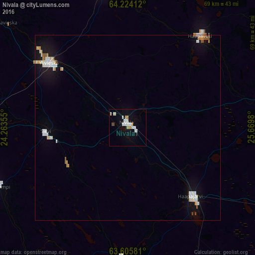
96.15%Clear (daylight) street map image can be seen on geolist.org.
Map coordinates:
64° 13' 26.8" North, 24° 15' 48.8" East
63° 55' 0" North, 24° 58' 0" East
63° 36' 20.9" North, 25° 40' 11.3" East
Some cities around Nivala sort by population:
• Ylivieska
27.5 km =17.1 mi,  312°
312°
• Kalajoki
61.8 km =38.4 mi, 306°
• Oulainen
39.7 km =24.7 mi,  348°
348°
• Haapavesi
31 km =19.3 mi,  38°
38°
• Haapajärvi
25.8 km =16 mi,  135°
135°
• Pyhäjärvi
53.6 km =33.3 mi,  121°
121°
• Kannus
52.2 km =32.4 mi,  267°
267°
• Sievi
22.9 km =14.2 mi, 265°
644499 (p: 10,610)
Sources (retrieved 2019-11-25):
» Earth at Night: Flat Maps 2012, 2016