Kokkola night lights from space
Night Light of Kokkola (Central Ostrobothnia) from space (Finland) Src. Average luminocity for 10x10km area is 44.7781% and for 50x50km: 3.9596%.
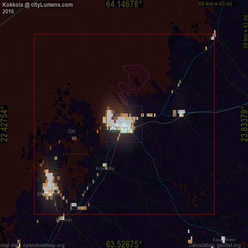
Analysis of Kokkola night lights 2016
Square area 10x10 km:
 10.67%
90-99
13.62%80-89
5.33%70-79
4%60-69
1.9%50-59
3.24%40-49
2.95%30-39
2.19%20-29
19.24%10-19
21.81%0-9
15.05%Square area 50x50 km:
0.65%90-99
0.91%80-89
0.42%70-79
0.41%60-69
0.37%50-59
0.4%40-49
0.25%30-39
0.22%20-29
0.99%10-19
3.39%0-9
91.98%Clear (daylight) street map image can be seen on geolist.org.
Map coordinates:
64° 8' 48.4" North, 22° 25' 39.1" East
63° 50' 18.5" North, 23° 7' 50.4" East
63° 31' 36.3" North, 23° 50' 1.6" East
Some cities around Kokkola sort by population:
• Jakobstad
27.8 km =17.3 mi,  229°
229°
• Ylivieska
74.4 km =46.2 mi,  68°
68°
• Pedersöre
30.4 km =18.9 mi, 226°
• Kalajoki
60.7 km =37.7 mi,  41°
41°
• Nykarleby
45.9 km =28.5 mi,  220°
220°
• Kronoby
13.1 km =8.1 mi,  201°
201°
• Kannus
38.3 km =23.8 mi,  79°
79°
• Sievi
67.4 km =41.9 mi, 84°
651943 (p: 35,586)
Sources (retrieved 2019-11-25):
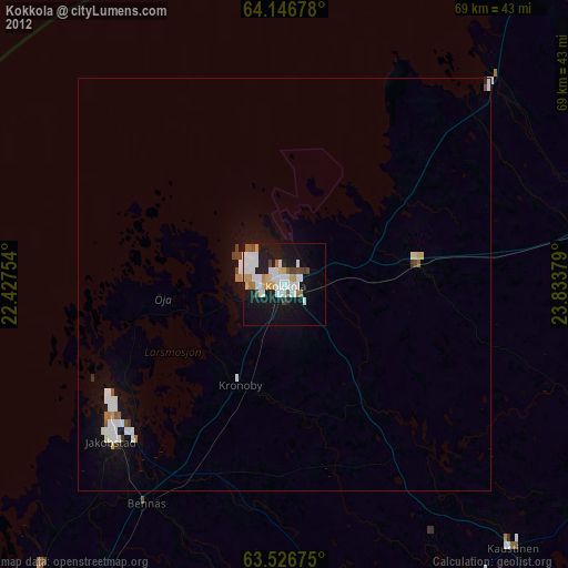
» Earth at Night: Flat Maps 2012, 2016