Raahe night lights from space
Night Light of Raahe (Northern Ostrobothnia) from space (Finland) Src. Average luminocity for 10x10km area is 38.2145% and for 50x50km: 2.3983%.
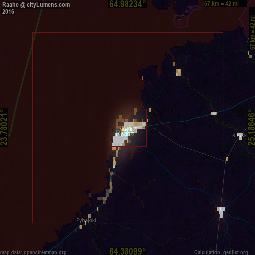
Analysis of Raahe night lights 2016
Square area 10x10 km:
 8.36%
8.36%90-99
12.45%80-89
3.45%70-79
3.18%60-69
0.82%50-59
0.82%40-49
5.09%30-39
3.09%20-29
11.91%10-19
30.09%0-9
20.73%Square area 50x50 km:
0.4%90-99
0.59%80-89
0.22%70-79
0.24%60-69
0.15%50-59
0.11%40-49
0.29%30-39
0.26%20-29
0.74%10-19
1.91%0-9
95.08%Clear (daylight) street map image can be seen on geolist.org.
Map coordinates:
64° 58' 56.4" North, 23° 46' 48.8" East
64° 40' 60" North, 24° 28' 60" East
64° 22' 51.6" North, 25° 11' 11.3" East
Some cities around Raahe sort by population:
• Oulu
59.2 km =36.8 mi,  51°
51°
• Kempele
54.6 km =33.9 mi,  62°
62°
• Ylivieska
66.8 km =41.5 mi,  177°
177°
• Oulunsalo
52 km =32.3 mi, 57°
• Kalajoki
54.5 km =33.9 mi,  207°
207°
• Oulainen
48.7 km =30.3 mi,  161°
161°
• Liminka
46.4 km =28.8 mi,  72°
72°
• Tyrnävä
56.2 km =34.9 mi,  80°
80°
640276 (p: 22,217)
Sources (retrieved 2019-11-25):
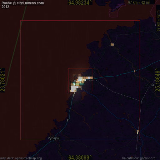
» Earth at Night: Flat Maps 2012, 2016