Haapavesi night lights from space
Night Light of Haapavesi (Northern Ostrobothnia) from space (Finland) Src. Average luminocity for 10x10km area is 10.041% and for 50x50km: 1.1135%.
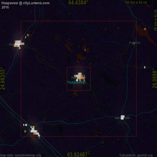
Analysis of Haapavesi night lights 2016
Square area 10x10 km:
 2%
2%90-99
1.05%80-89
0.38%70-79
2.1%60-69
1.33%50-59
2.38%40-49
1.05%30-39
0%20-29
0%10-19
3.62%0-9
86.1%Square area 50x50 km:
0.23%90-99
0.21%80-89
0.09%70-79
0.19%60-69
0.08%50-59
0.09%40-49
0.11%30-39
0.01%20-29
0%10-19
0.45%0-9
98.54%Clear (daylight) street map image can be seen on geolist.org.
Map coordinates:
64° 26' 18.2" North, 24° 39' 48.8" East
64° 7' 60" North, 25° 22' 0" East
63° 49' 29.5" North, 26° 4' 11.3" East
Some cities around Haapavesi sort by population:
• Raahe
74.4 km =46.2 mi,  325°
325°
• Ylivieska
40 km =24.9 mi,  262°
262°
• Nivala
31 km =19.3 mi,  218°
218°
• Kalajoki
69.8 km =43.4 mi,  280°
280°
• Oulainen
31.2 km =19.4 mi,  298°
298°
• Pyhäjärvi
58.1 km =36.1 mi,  153°
153°
• Tyrnävä
71.5 km =44.4 mi,  11°
11°
• Sievi
49.6 km =30.8 mi,  238°
238°
659554 (p: 7,717)
Sources (retrieved 2019-11-25):
» Earth at Night: Flat Maps 2012, 2016