Vila-seca night lights from space
Night Light of Vila-seca (Catalonia) from space (Spain) Src. Average luminocity for 10x10km area is 74.961% and for 50x50km: 16.5303%.
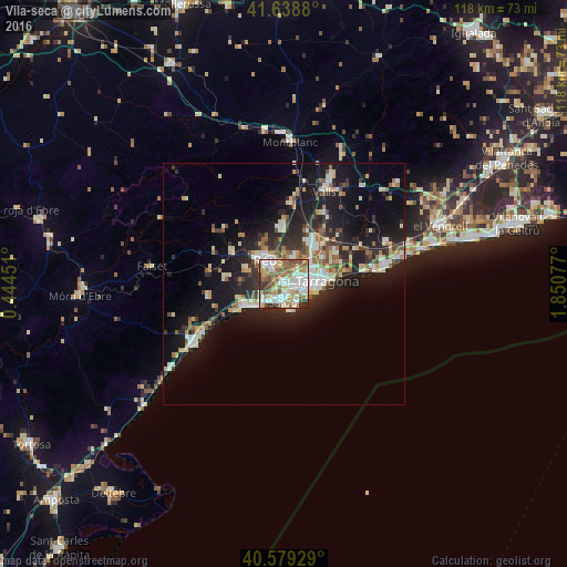
Analysis of Vila-seca night lights 2016
Square area 10x10 km:
 20.29%
90-99
19.48%80-89
5.03%70-79
14.45%60-69
9.74%50-59
17.53%40-49
4.55%30-39
6.49%20-29
2.44%10-19
0%0-9
0%Square area 50x50 km:
2.48%90-99
2.98%80-89
1.76%70-79
1.99%60-69
2.01%50-59
2.33%40-49
1.28%30-39
2.52%20-29
5.22%10-19
13.71%0-9
63.74%Clear (daylight) street map image can be seen on geolist.org.
Map coordinates:
41° 38' 19.7" North, 0° 26' 40.2" East
41° 6' 40.2" North, 1° 8' 51.5" East
40° 34' 45.4" North, 1° 51' 2.8" East
Some cities around Vila-seca sort by population:
• Tarragona
8.6 km =5.3 mi,  85°
85°
• Reus
6.1 km =3.8 mi,  325°
325°
• Cambrils
8.7 km =5.4 mi,  238°
238°
• Salou
3.9 km =2.4 mi,  187°
187°
• La Pineda
5 km =3.1 mi,  141°
141°
• La Canonja
3 km =1.9 mi,  68°
68°
• Riudoms
8.5 km =5.3 mi,  286°
286°
• Constantí
7.2 km =4.5 mi,  48°
48°
3105803 (p: 20,866)
Sources (retrieved 2019-11-25):
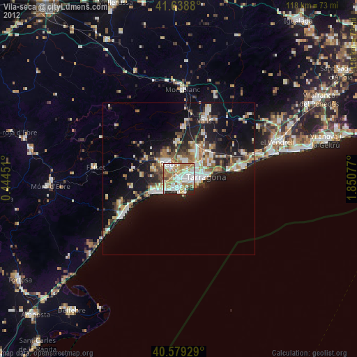
» Earth at Night: Flat Maps 2012, 2016