Teruel night lights from space
Night Light of Teruel (Aragon) from space (Spain) Src. Average luminocity for 10x10km area is 17.2126% and for 50x50km: 1.3008%.
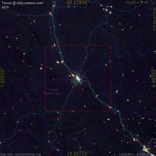

Analysis of Teruel night lights 2016
Square area 10x10 km:
100  3.57%
3.57%
90-99 2.89%
80-89 3.06%
70-79 0.68%
60-69 1.36%
50-59 1.7%
40-49 1.87%
30-39 1.19%
20-29 1.02%
10-19 5.1%
0-9 77.55%
3.57%90-99
2.89%80-89
3.06%70-79
0.68%60-69
1.36%50-59
1.7%40-49
1.87%30-39
1.19%20-29
1.02%10-19
5.1%0-9
77.55%Square area 50x50 km:
100 0.18%
90-99 0.19%
80-89 0.21%
70-79 0.11%
60-69 0.11%
50-59 0.11%
40-49 0.28%
30-39 0.21%
20-29 0.22%
10-19 0.22%
0-9 98.16%
0.18%90-99
0.19%80-89
0.21%70-79
0.11%60-69
0.11%50-59
0.11%40-49
0.28%30-39
0.21%20-29
0.22%10-19
0.22%0-9
98.16%Clear (daylight) street map image can be seen on geolist.org.
Map coordinates:
40° 52' 45.7" North, 1° 48' 34.5" West
40° 20' 44.2" North, 1° 6' 23.3" West
39° 48' 27.3" North, 0° 24' 12" West
Some cities around Teruel sort by population:
• Cuenca
92.6 km =57.5 mi,  250°
250°
• Onda
83.4 km =51.8 mi,  120°
120°
• Llíria
90.7 km =56.4 mi,  151°
151°
• Utiel
87 km =54.1 mi,  185°
185°
• l'Alcora
83 km =51.6 mi,  111°
111°
• Segorbe
76.5 km =47.5 mi,  136°
136°
• Andorra
89.5 km =55.6 mi,  38°
38°
• Betxí
89.7 km =55.7 mi, 120°
3108126 (p: 35,396)
Sources (retrieved 2019-11-25):
» Earth at Night: Flat Maps 2012, 2016