Utiel night lights from space
Night Light of Utiel (Valencia) from space (Spain) Src. Average luminocity for 10x10km area is 9.9351% and for 50x50km: 1.9699%.
Analysis of Utiel night lights 2016
Square area 10x10 km:
100  0.49%
0.49%
90-99 2.44%
80-89 1.3%
70-79 0.65%
60-69 2.44%
50-59 0.16%
40-49 0.97%
30-39 1.3%
20-29 0.65%
10-19 0%
0-9 89.61%
0.49%90-99
2.44%80-89
1.3%70-79
0.65%60-69
2.44%50-59
0.16%40-49
0.97%30-39
1.3%20-29
0.65%10-19
0%0-9
89.61%Square area 50x50 km:
100 0.11%
90-99 0.38%
80-89 0.32%
70-79 0.17%
60-69 0.24%
50-59 0.33%
40-49 0.33%
30-39 0.21%
20-29 0.4%
10-19 0.16%
0-9 97.35%
0.11%90-99
0.38%80-89
0.32%70-79
0.17%60-69
0.24%50-59
0.33%40-49
0.33%30-39
0.21%20-29
0.4%10-19
0.16%0-9
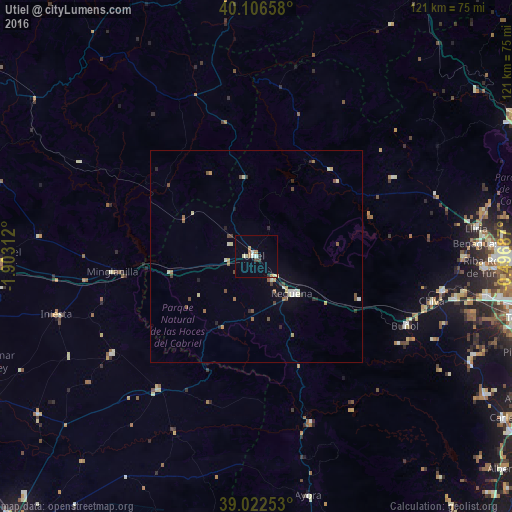
97.35%Clear (daylight) street map image can be seen on geolist.org.
Map coordinates:
40° 6' 23.7" North, 1° 54' 11.2" West
39° 34' 0" North, 1° 12' 0" West
39° 1' 21.1" North, 0° 29' 48.7" West
Some cities around Utiel sort by population:
• Llíria
52.1 km =32.4 mi,  82°
82°
• Requena
12.2 km =7.6 mi,  135°
135°
• Chiva
42.9 km =26.7 mi,  105°
105°
• Benaguasil
53 km =32.9 mi,  85°
85°
• Buñol
39.5 km =24.5 mi,  115°
115°
• Cheste
45.3 km =28.1 mi,  101°
101°
• Vilamarxant
49.3 km =30.6 mi, 89°
• Turís
47.5 km =29.5 mi, 115°
2510075 (p: 12,420)
Sources (retrieved 2019-11-25):
» Earth at Night: Flat Maps 2012, 2016