Llíria night lights from space
Night Light of Llíria (Valencia) from space (Spain) Src. Average luminocity for 10x10km area is 35.8704% and for 50x50km: 22.9931%.
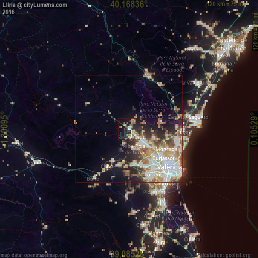
Analysis of Llíria night lights 2016
Square area 10x10 km:
 3.87%
3.87%90-99
4.71%80-89
5.22%70-79
4.71%60-69
8.08%50-59
3.54%40-49
5.89%30-39
4.88%20-29
14.65%10-19
26.77%0-9
17.68%Square area 50x50 km:
5.1%90-99
4.86%80-89
2.51%70-79
3.04%60-69
3.55%50-59
2.88%40-49
2.35%30-39
2.66%20-29
4.4%10-19
7.81%0-9
60.83%Clear (daylight) street map image can be seen on geolist.org.
Map coordinates:
40° 10' 6.1" North, 1° 18' 3.4" West
39° 37' 44.2" North, 0° 35' 52.2" West
39° 5' 7" North, 0° 6' 19" East
Some cities around Llíria sort by population:
• Bétera
12.4 km =7.7 mi,  109°
109°
• Ribarroja del Turia
9.5 km =5.9 mi,  165°
165°
• La Pobla de Vallbona
5.1 km =3.2 mi,  133°
133°
• L'Eliana
8.9 km =5.5 mi,  141°
141°
• Godella
18.8 km =11.7 mi,  124°
124°
• Benaguasil
3.4 km =2.1 mi,  158°
158°
• Cheste
17.8 km =11.1 mi,  204°
204°
• Vilamarxant
7 km =4.3 mi, 198°
2515036 (p: 22,706)
Sources (retrieved 2019-11-25):
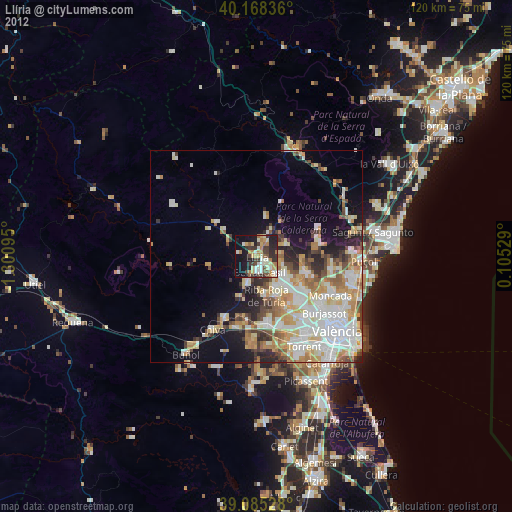
» Earth at Night: Flat Maps 2012, 2016