Andorra night lights from space
Night Light of Andorra (Aragon) from space (Spain) Src. Average luminocity for 10x10km area is 8.5374% and for 50x50km: 1.5664%.
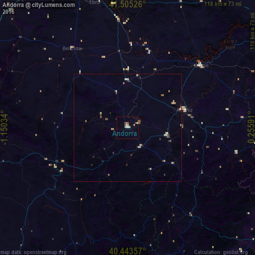
Analysis of Andorra night lights 2016
Square area 10x10 km:
 1.36%
1.36%90-99
0.85%80-89
1.36%70-79
2.38%60-69
0.17%50-59
0.68%40-49
1.53%30-39
0.51%20-29
0%10-19
0%0-9
91.16%Square area 50x50 km:
0.1%90-99
0.17%80-89
0.37%70-79
0.23%60-69
0.22%50-59
0.18%40-49
0.19%30-39
0.27%20-29
0.31%10-19
0.13%0-9
97.83%Clear (daylight) street map image can be seen on geolist.org.
Map coordinates:
41° 30' 18.9" North, 1° 9' 1.2" West
40° 58' 35.6" North, 0° 26' 50" West
40° 26' 36.9" North, 0° 15' 21.3" East
Some cities around Andorra sort by population:
• Zaragoza
83.7 km =52 mi,  334°
334°
• Delicias
84.1 km =52.3 mi, 332°
• Tortosa
83.4 km =51.8 mi,  102°
102°
• Oliver-Valdefierro
84.7 km =52.6 mi, 331°
• Almozara
85.1 km =52.9 mi, 333°
• Montecanal
83.4 km =51.8 mi, 330°
• Alcañiz
27.6 km =17.1 mi,  72°
72°
• Caspe
44.6 km =27.7 mi,  50°
50°
3130067 (p: 7,890)
Sources (retrieved 2019-11-25):
» Earth at Night: Flat Maps 2012, 2016