La Bonanova night lights from space
Night Light of La Bonanova (Catalonia) from space (Spain) Src. Average luminocity for 10x10km area is 92.1463% and for 50x50km: 43.9067%.
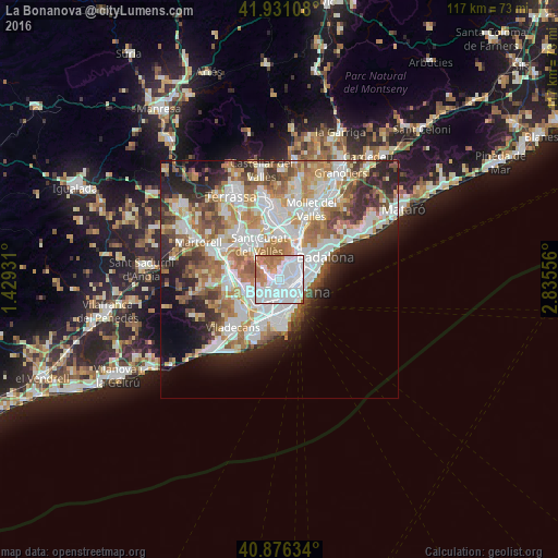
Analysis of La Bonanova night lights 2016
Square area 10x10 km:
 51.53%
90-99
25.17%80-89
1.36%70-79
7.48%60-69
13.1%50-59
1.36%40-49
0%30-39
0%20-29
0%10-19
0%0-9
0%Square area 50x50 km:
11.58%90-99
10.4%80-89
4.24%70-79
5.34%60-69
7.83%50-59
5.84%40-49
3.67%30-39
4.13%20-29
7.76%10-19
7.4%0-9
31.8%Clear (daylight) street map image can be seen on geolist.org.
Map coordinates:
41° 55' 51.9" North, 1° 25' 45.5" East
41° 24' 21.1" North, 2° 7' 56.7" East
40° 52' 34.8" North, 2° 50' 8" East
Some cities around La Bonanova sort by population:
• Sarrià-Sant Gervasi
0.8 km =0.5 mi,  132°
132°
• Sant Gervasi - Galvany
1.3 km =0.8 mi,  136°
136°
• el Putxet i el Farró
1 km =0.6 mi,  82°
82°
• Sarrià
1.4 km =0.9 mi,  255°
255°
• Las Tres Torres
0.7 km =0.4 mi,  201°
201°
• Vallcarca
1.2 km =0.7 mi,  54°
54°
• la Salut
2 km =1.2 mi,  68°
68°
• el Coll
1.8 km =1.1 mi,  44°
44°
6545107 (p: 25,574)
Sources (retrieved 2019-11-25):
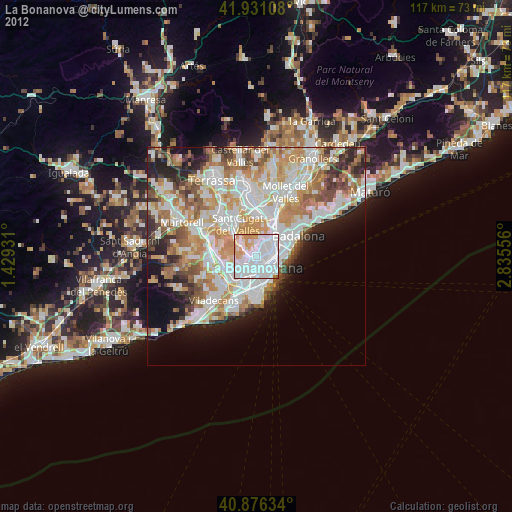
» Earth at Night: Flat Maps 2012, 2016