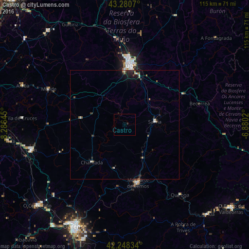
Castro night lights from space
Night Light of Castro (Galicia) from space (Spain) Src. Average luminocity for 10x10km area is 0.4258% and for 50x50km: 1.1023%.
Analysis of Castro night lights 2016
Square area 10x10 km:
 0%
0%90-99
0%80-89
0%70-79
0%60-69
0%50-59
0%40-49
0%30-39
0.61%20-29
0.3%10-19
0%0-9
99.09%Square area 50x50 km:
0.09%90-99
0.14%80-89
0.13%70-79
0.08%60-69
0.09%50-59
0.15%40-49
0.12%30-39
0.25%20-29
0.49%10-19
0.77%0-9
97.69%Clear (daylight) street map image can be seen on geolist.org.
Map coordinates:
43° 16' 50.5" North, 8° 17' 11.2" West
42° 46' 0" North, 7° 34' 60" West
42° 14' 54" North, 6° 52' 48.7" West
Some cities around Castro sort by population:
• Lugo
27.1 km =16.8 mi,  4°
4°
• Lalín
44.8 km =27.8 mi,  254°
254°
• Monforte de Lemos
27.8 km =17.3 mi,  168°
168°
• Mos
43.4 km =27 mi, 3°
• Sarria
13.9 km =8.6 mi,  83°
83°
• Chantada
23.3 km =14.5 mi,  221°
221°
• Arzúa
49.8 km =30.9 mi,  291°
291°
• Outeiro de Rei
37.4 km =23.2 mi,  356°
356°
3125713 (p: 5,822)
Sources (retrieved 2019-11-25):
» Earth at Night: Flat Maps 2012, 2016