la Verneda i la Pau night lights from space
Night Light of la Verneda i la Pau (Catalonia) from space (Spain) Src. Average luminocity for 10x10km area is 85.2534% and for 50x50km: 43.3843%.
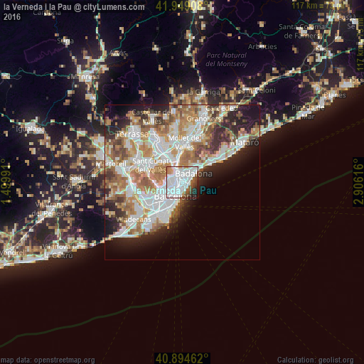
Analysis of la Verneda i la Pau night lights 2016
Square area 10x10 km:
 49.66%
90-99
22.45%80-89
1.36%70-79
3.74%60-69
1.7%50-59
7.99%40-49
4.25%30-39
3.23%20-29
3.4%10-19
2.21%0-9
0%Square area 50x50 km:
11.55%90-99
10.45%80-89
4.11%70-79
5.2%60-69
7.99%50-59
5.5%40-49
3.6%30-39
4%20-29
7.22%10-19
7.85%0-9
32.51%Clear (daylight) street map image can be seen on geolist.org.
Map coordinates:
41° 56' 56.7" North, 1° 29' 59.7" East
41° 25' 26.4" North, 2° 12' 10.9" East
40° 53' 40.6" North, 2° 54' 22.2" East
Some cities around la Verneda i la Pau sort by population:
• Sant Martí
0.7 km =0.4 mi,  205°
205°
• Sant Adrià de Besòs
1.5 km =0.9 mi,  59°
59°
• La Sagrera
1.4 km =0.9 mi,  264°
264°
• Sant Martí de Provençals
0.7 km =0.4 mi,  233°
233°
• el Besòs i el Maresme
1.7 km =1.1 mi,  135°
135°
• Navas
1.6 km =1 mi,  245°
245°
• Provenals del Poblenou
1.4 km =0.9 mi,  181°
181°
• el Bon Pastor
1.5 km =0.9 mi,  355°
355°
11549811 (p: 29,013)
Sources (retrieved 2019-11-25):
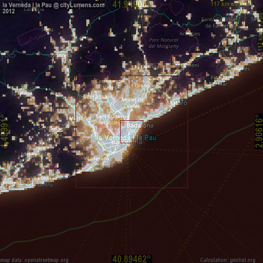
» Earth at Night: Flat Maps 2012, 2016