Sabiñánigo night lights from space
Night Light of Sabiñánigo (Aragon) from space (Spain) Src. Average luminocity for 10x10km area is 10.0302% and for 50x50km: 1.3571%.
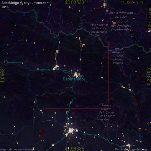
Analysis of Sabiñánigo night lights 2016
Square area 10x10 km:
 0.16%
0.16%90-99
2.7%80-89
2.22%70-79
0.48%60-69
2.06%50-59
0.79%40-49
1.11%30-39
1.27%20-29
0.63%10-19
0.63%0-9
87.94%Square area 50x50 km:
0.08%90-99
0.29%80-89
0.23%70-79
0.11%60-69
0.3%50-59
0.11%40-49
0.12%30-39
0.16%20-29
0.21%10-19
0.13%0-9
98.26%Clear (daylight) street map image can be seen on geolist.org.
Map coordinates:
43° 2' 7.2" North, 1° 4' 9.1" West
42° 31' 9.3" North, 0° 21' 57.9" West
41° 59' 55.9" North, 0° 20' 13.4" East
Some cities around Sabiñánigo sort by population:
• Huesca
42.7 km =26.5 mi,  184°
184°
• Ejea de los Caballeros
77 km =47.8 mi,  235°
235°
• Barbastro
67.3 km =41.8 mi,  142°
142°
• Lourdes, FR
69.5 km =43.2 mi,  21°
21°
• Jaca
16 km =9.9 mi,  290°
290°
• Oloron-Sainte-Marie, FR
77.7 km =48.3 mi,  345°
345°
• Bagnères-de-Bigorre, FR
73.8 km =45.9 mi,  34°
34°
• Sangüesa/Zangoza
75.4 km =46.9 mi,  274°
274°
3111185 (p: 10,378)
Sources (retrieved 2019-11-25):
» Earth at Night: Flat Maps 2012, 2016