Barbastro night lights from space
Night Light of Barbastro (Aragon) from space (Spain) Src. Average luminocity for 10x10km area is 11.8317% and for 50x50km: 2.4819%.
Analysis of Barbastro night lights 2016
Square area 10x10 km:
 1.75%
1.75%90-99
1.75%80-89
2.86%70-79
0%60-69
0.79%50-59
2.54%40-49
0.95%30-39
1.43%20-29
0.32%10-19
0.95%0-9
86.67%Square area 50x50 km:
0.15%90-99
0.4%80-89
0.43%70-79
0.22%60-69
0.3%50-59
0.55%40-49
0.19%30-39
0.31%20-29
0.43%10-19
0.5%0-9
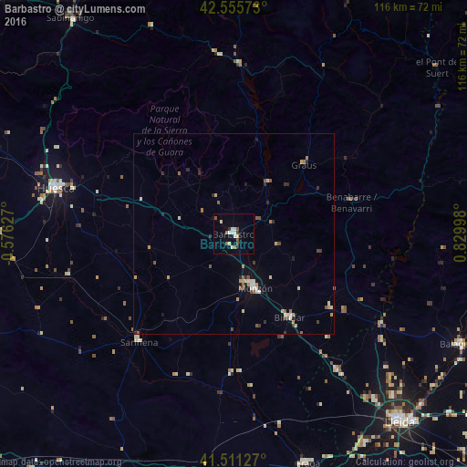
96.51%Clear (daylight) street map image can be seen on geolist.org.
Map coordinates:
42° 33' 20.6" North, 0° 34' 34.6" West
42° 2' 8.3" North, 0° 7' 36.7" East
41° 30' 40.6" North, 0° 49' 47.9" East
Some cities around Barbastro sort by population:
• Lleida
62.1 km =38.6 mi,  138°
138°
• Huesca
45.6 km =28.3 mi,  284°
284°
• Monzón
14.9 km =9.3 mi,  158°
158°
• Fraga
59.9 km =37.2 mi, 162°
• Binéfar
24.7 km =15.3 mi,  145°
145°
• Almacelles
42.4 km =26.3 mi, 142°
• Alcarràs
61.3 km =38.1 mi, 148°
• Alpicat
54.3 km =33.7 mi, 139°
3128795 (p: 16,924)
Sources (retrieved 2019-11-25):
» Earth at Night: Flat Maps 2012, 2016