Port de Pollença night lights from space
Night Light of Port de Pollença (Balearic Islands) from space (Spain) Src. Average luminocity for 10x10km area is 10.102% and for 50x50km: 3.0636%.
Analysis of Port de Pollença night lights 2016
Square area 10x10 km:
 0.34%
0.34%90-99
0.51%80-89
1.53%70-79
1.02%60-69
1.19%50-59
2.72%40-49
0.85%30-39
0.68%20-29
1.36%10-19
11.73%0-9
78.06%Square area 50x50 km:
0.19%90-99
0.42%80-89
0.41%70-79
0.45%60-69
0.47%50-59
0.57%40-49
0.25%30-39
0.24%20-29
0.3%10-19
1.8%0-9
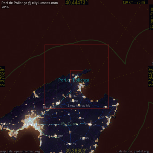
94.89%Clear (daylight) street map image can be seen on geolist.org.
Map coordinates:
40° 26' 41" North, 2° 22' 41.8" East
39° 54' 27" North, 3° 4' 53" East
39° 21' 57.7" North, 3° 47' 4.3" East
Some cities around Port de Pollença sort by population:
• Inca
25.3 km =15.7 mi,  215°
215°
• Alcúdia
6.9 km =4.3 mi,  150°
150°
• Pollença
6.5 km =4 mi,  238°
238°
• sa Pobla
16.1 km =10 mi,  197°
197°
• Santa Margalida
23 km =14.3 mi,  175°
175°
• Can Picafort
17 km =10.6 mi,  158°
158°
• Muro
19.1 km =11.9 mi,  186°
186°
• Lloseta
27.9 km =17.3 mi, 221°
6355021 (p: 5,900)
Sources (retrieved 2019-11-25):
» Earth at Night: Flat Maps 2012, 2016