Muro night lights from space
Night Light of Muro (Balearic Islands) from space (Spain) Src. Average luminocity for 10x10km area is 9.7841% and for 50x50km: 5.1293%.
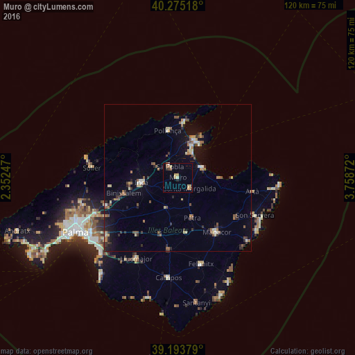
Analysis of Muro night lights 2016
Square area 10x10 km:
 0%
0%90-99
1.14%80-89
1.62%70-79
2.76%60-69
2.6%50-59
0.97%40-49
0.49%30-39
0.65%20-29
0.49%10-19
0.49%0-9
88.8%Square area 50x50 km:
0.24%90-99
0.58%80-89
0.71%70-79
0.48%60-69
0.81%50-59
1.06%40-49
0.52%30-39
0.81%20-29
0.95%10-19
2.89%0-9
90.95%Clear (daylight) street map image can be seen on geolist.org.
Map coordinates:
40° 16' 30.6" North, 2° 21' 8.9" East
39° 44' 11.8" North, 3° 3' 20.1" East
39° 11' 37.6" North, 3° 45' 31.4" East
Some cities around Muro sort by population:
• Inca
12.5 km =7.8 mi,  262°
262°
• Alcúdia
14.1 km =8.8 mi,  23°
23°
• Pollença
15.9 km =9.9 mi,  347°
347°
• sa Pobla
4.5 km =2.8 mi,  323°
323°
• Santa Margalida
5.6 km =3.5 mi,  134°
134°
• Binissalem
18.9 km =11.7 mi,  253°
253°
• Can Picafort
9.1 km =5.7 mi,  69°
69°
• Lloseta
16.3 km =10.1 mi, 262°
2513406 (p: 6,610)
Sources (retrieved 2019-11-25):
» Earth at Night: Flat Maps 2012, 2016