Inca night lights from space
Night Light of Inca (Balearic Islands) from space (Spain) Src. Average luminocity for 10x10km area is 13.1542% and for 50x50km: 10.5562%.
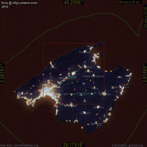
Analysis of Inca night lights 2016
Square area 10x10 km:
 0.97%
0.97%90-99
3.25%80-89
1.46%70-79
1.46%60-69
0.81%50-59
1.79%40-49
1.95%30-39
1.3%20-29
1.3%10-19
1.62%0-9
84.09%Square area 50x50 km:
1.69%90-99
1.66%80-89
1.34%70-79
0.9%60-69
1.4%50-59
2.04%40-49
1.11%30-39
1.47%20-29
2.44%10-19
4.76%0-9
81.18%Clear (daylight) street map image can be seen on geolist.org.
Map coordinates:
40° 15' 35.3" North, 2° 12' 28.1" East
39° 43' 16" North, 2° 54' 39.3" East
39° 10' 41.4" North, 3° 36' 50.6" East
Some cities around Inca sort by population:
• Marratxí
19.4 km =12.1 mi,  235°
235°
• Sóller
17.5 km =10.9 mi,  286°
286°
• sa Pobla
11 km =6.8 mi,  61°
61°
• Santa Margalida
16.5 km =10.3 mi,  97°
97°
• Binissalem
6.8 km =4.2 mi, 236°
• Muro
12.5 km =7.8 mi,  82°
82°
• Bunyola
18.3 km =11.4 mi,  261°
261°
• Lloseta
3.8 km =2.4 mi,  265°
265°
2516452 (p: 29,308)
Sources (retrieved 2019-11-25):
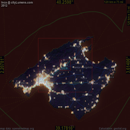
» Earth at Night: Flat Maps 2012, 2016