Ourense night lights from space
Night Light of Ourense (Galicia) from space (Spain) Src. Average luminocity for 10x10km area is 57.673% and for 50x50km: 5.9458%.
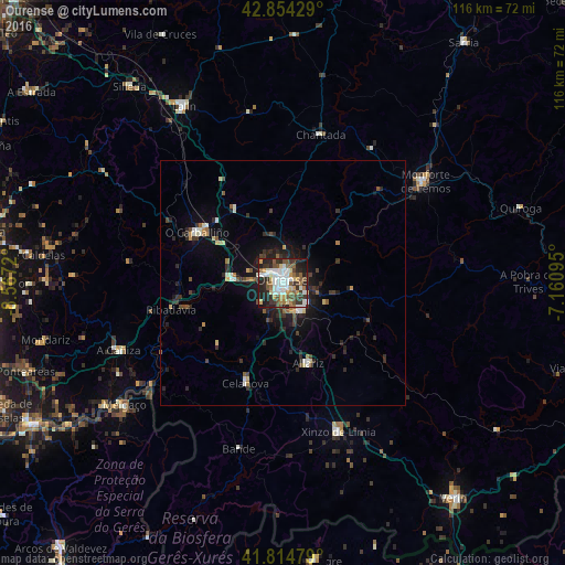
Analysis of Ourense night lights 2016
Square area 10x10 km:
 13.97%
90-99
12.54%80-89
6.35%70-79
6.19%60-69
5.71%50-59
9.05%40-49
8.25%30-39
9.84%20-29
17.3%10-19
10.63%0-9
0.16%Square area 50x50 km:
0.73%90-99
0.96%80-89
0.56%70-79
0.54%60-69
0.51%50-59
0.77%40-49
0.93%30-39
1.13%20-29
2.38%10-19
3.5%0-9
87.98%Clear (daylight) street map image can be seen on geolist.org.
Map coordinates:
42° 51' 15.4" North, 8° 34' 1.9" West
42° 20' 12.1" North, 7° 51' 50.7" West
41° 48' 53.2" North, 7° 9' 39.4" West
Some cities around Ourense sort by population:
• Monforte de Lemos
35.3 km =21.9 mi,  54°
54°
• O Carballiño
20.6 km =12.8 mi,  300°
300°
• Xinzo de Limia
32.5 km =20.2 mi,  159°
159°
• Chantada
31.2 km =19.4 mi,  14°
14°
• Celanova
21.8 km =13.5 mi,  200°
200°
• Ribadavia
23.6 km =14.7 mi,  256°
256°
• Pereiro de Aguiar
5.3 km =3.3 mi,  79°
79°
• Allariz
17.1 km =10.6 mi, 162°
3114965 (p: 107,742)
Sources (retrieved 2019-11-25):
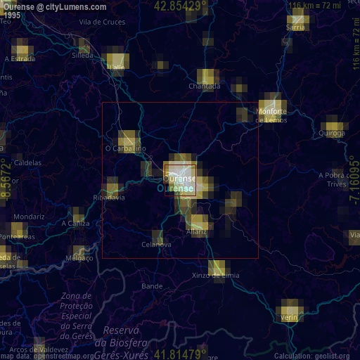
» NASA, Earths city lights 1995
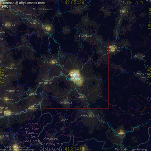
» NASA city lights 2003
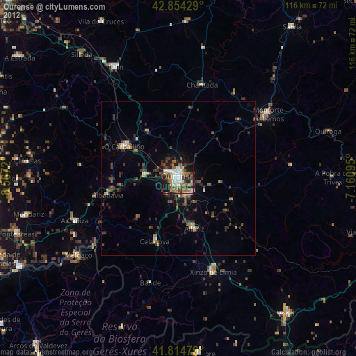
» Earth at Night: Flat Maps 2012, 2016