Allariz night lights from space
Night Light of Allariz (Galicia) from space (Spain) Src. Average luminocity for 10x10km area is 6.6152% and for 50x50km: 5.4976%.
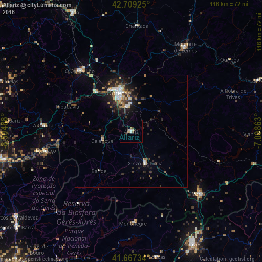
Analysis of Allariz night lights 2016
Square area 10x10 km:
 0.61%
0.61%90-99
1.21%80-89
1.21%70-79
0.15%60-69
0.45%50-59
0%40-49
1.67%30-39
0.15%20-29
3.64%10-19
0%0-9
90.91%Square area 50x50 km:
0.68%90-99
0.82%80-89
0.57%70-79
0.43%60-69
0.54%50-59
0.7%40-49
0.82%30-39
1.2%20-29
2.37%10-19
3.18%0-9
88.68%Clear (daylight) street map image can be seen on geolist.org.
Map coordinates:
42° 42' 33.3" North, 8° 30' 17.6" West
42° 11' 25.6" North, 7° 48' 6.3" West
41° 40' 2.4" North, 7° 5' 55.1" West
Some cities around Allariz sort by population:
• Ourense
17.1 km =10.6 mi,  342°
342°
• Monforte de Lemos
43.8 km =27.2 mi,  32°
32°
• Verín
40.8 km =25.4 mi,  132°
132°
• O Carballiño
35.2 km =21.9 mi,  319°
319°
• Xinzo de Limia
15.5 km =9.6 mi,  155°
155°
• Celanova
13.3 km =8.3 mi,  251°
251°
• Ribadavia
30.2 km =18.8 mi,  291°
291°
• Pereiro de Aguiar
17.2 km =10.7 mi,  0°
0°
3130354 (p: 5,392)
Sources (retrieved 2019-11-25):
» Earth at Night: Flat Maps 2012, 2016