Oliva night lights from space
Night Light of Oliva (Valencia) from space (Spain) Src. Average luminocity for 10x10km area is 40.9728% and for 50x50km: 10.9003%.
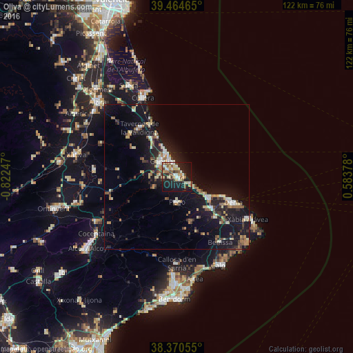
Analysis of Oliva night lights 2016
Square area 10x10 km:
 4.59%
4.59%90-99
7.82%80-89
7.99%70-79
4.76%60-69
3.74%50-59
6.46%40-49
4.59%30-39
5.27%20-29
11.56%10-19
37.93%0-9
5.27%Square area 50x50 km:
0.96%90-99
1.43%80-89
1.58%70-79
1.04%60-69
1.26%50-59
1.53%40-49
1.16%30-39
1.74%20-29
2.85%10-19
14.18%0-9
72.27%Clear (daylight) street map image can be seen on geolist.org.
Map coordinates:
39° 27' 52.7" North, 0° 49' 20.9" West
38° 55' 11" North, 0° 7' 9.7" West
38° 22' 14" North, 0° 35' 1.6" East
Some cities around Oliva sort by population:
• Gandia
7.6 km =4.7 mi,  313°
313°
• Denia
21.4 km =13.3 mi,  114°
114°
• Tavernes de la Valldigna
21.2 km =13.2 mi,  323°
323°
• Benissa
27 km =16.8 mi,  147°
147°
• Pego
8.5 km =5.3 mi,  178°
178°
• Pedreguer
19.4 km =12.1 mi,  136°
136°
• Ondara
15.6 km =9.7 mi,  130°
130°
• Gata de Gorgos
24 km =14.9 mi, 132°
2513145 (p: 28,419)
Sources (retrieved 2019-11-25):
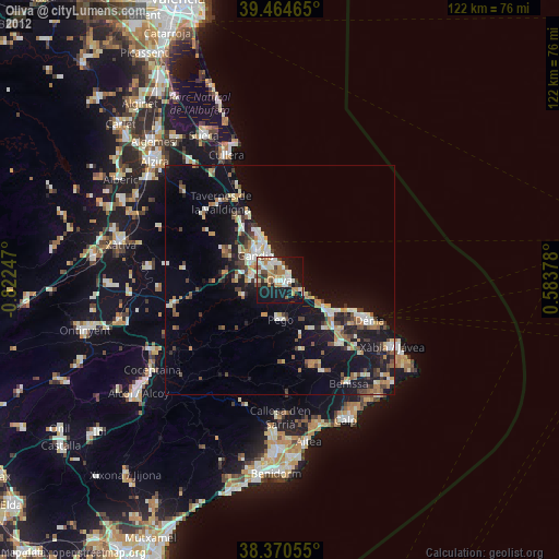
» Earth at Night: Flat Maps 2012, 2016