Montilla night lights from space
Night Light of Montilla (Andalusia) from space (Spain) Src. Average luminocity for 10x10km area is 13.3537% and for 50x50km: 6.1572%.
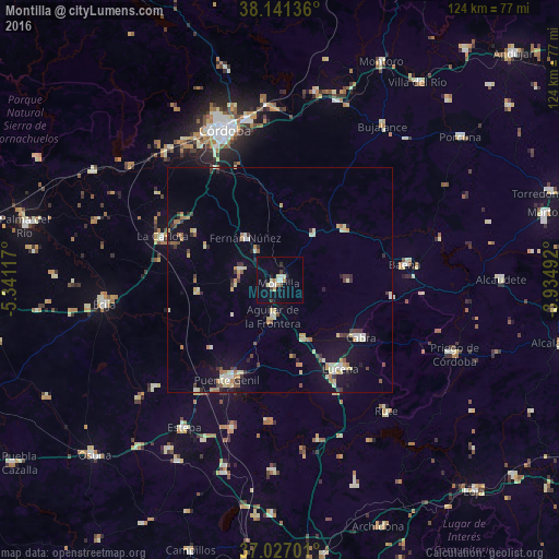
Analysis of Montilla night lights 2016
Square area 10x10 km:
 2.55%
2.55%90-99
1.19%80-89
2.38%70-79
0.68%60-69
2.04%50-59
0%40-49
1.19%30-39
1.53%20-29
1.02%10-19
4.76%0-9
82.65%Square area 50x50 km:
0.49%90-99
0.78%80-89
1.18%70-79
0.7%60-69
0.91%50-59
0.36%40-49
0.54%30-39
1.07%20-29
0.69%10-19
3.73%0-9
89.53%Clear (daylight) street map image can be seen on geolist.org.
Map coordinates:
38° 8' 28.9" North, 5° 20' 28.2" West
37° 35' 10.6" North, 4° 38' 17" West
37° 1' 37.2" North, 3° 56' 5.7" West
Some cities around Montilla sort by population:
• Lucena
23.9 km =14.9 mi,  145°
145°
• Cabra
21.4 km =13.3 mi,  126°
126°
• Aguilar
8.1 km =5 mi,  191°
191°
• Fernán-Núñez
12.2 km =7.6 mi,  320°
320°
• Castro del Río
18.1 km =11.2 mi,  49°
49°
• La Rambla
9.3 km =5.8 mi,  284°
284°
• Santaella
18.3 km =11.4 mi,  261°
261°
• Nueva-Carteya
15 km =9.3 mi,  89°
89°
2513601 (p: 23,840)
Sources (retrieved 2019-11-25):
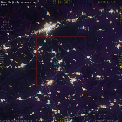
» Earth at Night: Flat Maps 2012, 2016