Lucena night lights from space
Night Light of Lucena (Andalusia) from space (Spain) Src. Average luminocity for 10x10km area is 24.2516% and for 50x50km: 6.0689%.
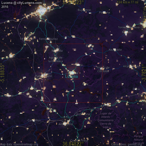
Analysis of Lucena night lights 2016
Square area 10x10 km:
 2.76%
2.76%90-99
4.06%80-89
4.22%70-79
3.9%60-69
2.11%50-59
1.14%40-49
0.32%30-39
2.6%20-29
2.44%10-19
43.18%0-9
33.28%Square area 50x50 km:
0.47%90-99
0.71%80-89
1.21%70-79
0.67%60-69
0.92%50-59
0.55%40-49
0.6%30-39
0.96%20-29
0.73%10-19
2.85%0-9
90.33%Clear (daylight) street map image can be seen on geolist.org.
Map coordinates:
37° 57' 54.8" North, 5° 11' 18.1" West
37° 24' 31.7" North, 4° 29' 6.8" West
36° 50' 53.6" North, 3° 46' 55.6" West
Some cities around Lucena sort by population:
• Puente-Genil
25 km =15.5 mi,  265°
265°
• Montilla
23.9 km =14.9 mi,  325°
325°
• Priego de Córdoba
25.8 km =16 mi,  82°
82°
• Cabra
8 km =5 mi,  28°
28°
• Aguilar
19.2 km =11.9 mi,  307°
307°
• Rute
13.8 km =8.6 mi,  131°
131°
• Nueva-Carteya
19.8 km =12.3 mi,  4°
4°
• Doña Mencía
19.7 km =12.2 mi,  35°
35°
2514392 (p: 42,248)
Sources (retrieved 2019-11-25):
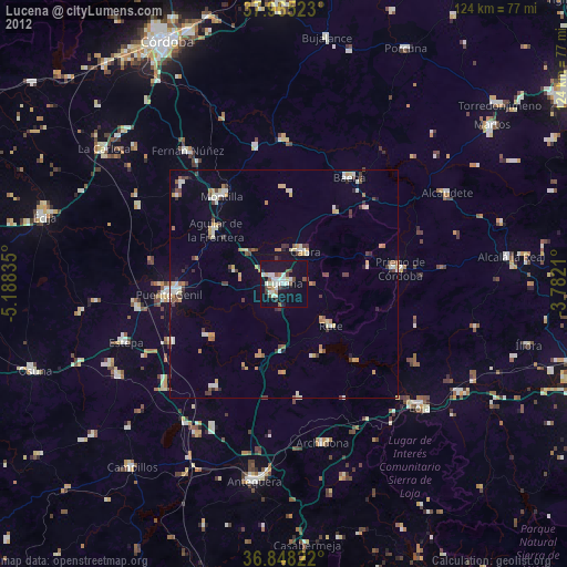
» Earth at Night: Flat Maps 2012, 2016