Molins de Rei night lights from space
Night Light of Molins de Rei (Catalonia) from space (Spain) Src. Average luminocity for 10x10km area is 78.4048% and for 50x50km: 47.7416%.
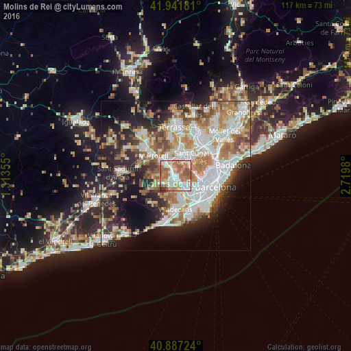
Analysis of Molins de Rei night lights 2016
Square area 10x10 km:
 18.37%
90-99
18.03%80-89
9.18%70-79
11.9%60-69
30.61%50-59
9.52%40-49
1.36%30-39
1.02%20-29
0%10-19
0%0-9
0%Square area 50x50 km:
11.66%90-99
10.77%80-89
4.89%70-79
5.82%60-69
8.48%50-59
6.67%40-49
3.98%30-39
4.25%20-29
10.09%10-19
12.87%0-9
20.51%Clear (daylight) street map image can be seen on geolist.org.
Map coordinates:
41° 56' 30.5" North, 1° 18' 48.8" East
41° 25' 0" North, 2° 1' 0" East
40° 53' 14.1" North, 2° 43' 11.3" East
Some cities around Molins de Rei sort by population:
• Sant Feliu de Llobregat
4.6 km =2.9 mi,  143°
143°
• Sant Joan Despí
6.5 km =4 mi,  148°
148°
• Sant Vicenç dels Horts
2.7 km =1.7 mi,  197°
197°
• Sant Andreu de la Barca
5 km =3.1 mi,  311°
311°
• Sant Just Desvern
5.6 km =3.5 mi,  130°
130°
• Pallejà
2 km =1.2 mi,  294°
294°
• Cervelló
5.3 km =3.3 mi,  244°
244°
• Santa Coloma de Cervelló
5.5 km =3.4 mi,  182°
182°
3116562 (p: 24,067)
Sources (retrieved 2019-11-25):
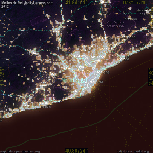
» Earth at Night: Flat Maps 2012, 2016