Bétera night lights from space
Night Light of Bétera (Valencia) from space (Spain) Src. Average luminocity for 10x10km area is 51.8766% and for 50x50km: 29.2364%.
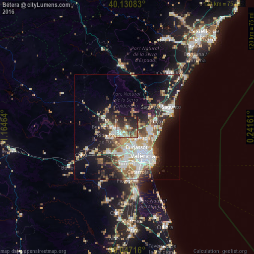
Analysis of Bétera night lights 2016
Square area 10x10 km:
 9.25%
9.25%90-99
7.14%80-89
6.82%70-79
4.38%60-69
10.23%50-59
9.42%40-49
9.42%30-39
12.66%20-29
18.83%10-19
11.85%0-9
0%Square area 50x50 km:
6.14%90-99
5.96%80-89
2.95%70-79
3.48%60-69
4.21%50-59
3.56%40-49
3.27%30-39
3.84%20-29
8.35%10-19
13.46%0-9
44.76%Clear (daylight) street map image can be seen on geolist.org.
Map coordinates:
40° 7' 51" North, 1° 9' 52.7" West
39° 35' 28" North, 0° 27' 41.4" West
39° 2' 49.8" North, 0° 14' 29.8" East
Some cities around Bétera sort by population:
• Paterna
10 km =6.2 mi,  169°
169°
• Burjassot
9.9 km =6.2 mi,  155°
155°
• Moncada
7.6 km =4.7 mi,  131°
131°
• La Pobla de Vallbona
8 km =5 mi,  275°
275°
• L'Eliana
6.7 km =4.2 mi,  246°
246°
• Godella
7.5 km =4.7 mi,  149°
149°
• Benaguasil
10.5 km =6.5 mi, 275°
• Rocafort
8.3 km =5.2 mi,  140°
140°
2520968 (p: 20,740)
Sources (retrieved 2019-11-25):
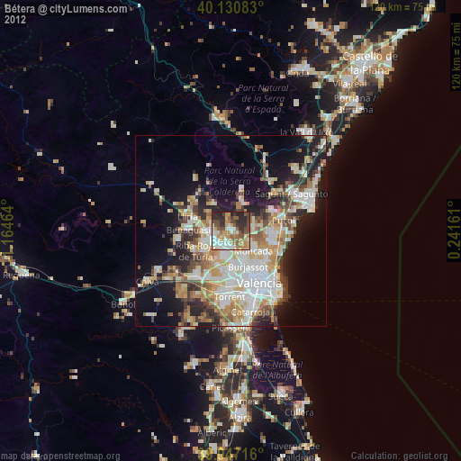
» Earth at Night: Flat Maps 2012, 2016