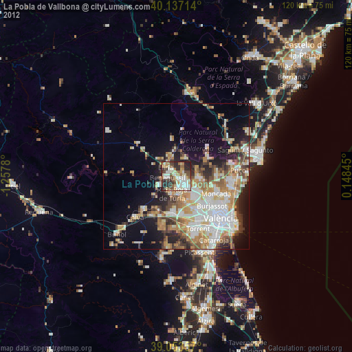
La Pobla de Vallbona night lights from space
Night Light of La Pobla de Vallbona (Valencia) from space (Spain) Src. Average luminocity for 10x10km area is 55.1575% and for 50x50km: 26.488%.

Analysis of La Pobla de Vallbona night lights 2016
Square area 10x10 km:
 11.36%
90-99
14.29%80-89
5.84%70-79
3.73%60-69
8.6%50-59
3.25%40-49
9.09%30-39
10.39%20-29
24.03%10-19
9.42%0-9
0%Square area 50x50 km:
5.46%90-99
5.34%80-89
2.69%70-79
3.29%60-69
4.18%50-59
3.44%40-49
3.13%30-39
3.64%20-29
6.61%10-19
10%0-9
52.21%Clear (daylight) street map image can be seen on geolist.org.
Map coordinates:
40° 8' 13.7" North, 1° 15' 28.1" West
39° 35' 50.9" North, 0° 33' 16.8" West
39° 3' 12.9" North, 0° 8' 54.4" East
Some cities around La Pobla de Vallbona sort by population:
• Manises
14.2 km =8.8 mi,  146°
146°
• Llíria
5.1 km =3.2 mi,  313°
313°
• Bétera
8 km =5 mi,  95°
95°
• Ribarroja del Turia
5.9 km =3.7 mi,  193°
193°
• L'Eliana
3.9 km =2.4 mi, 151°
• Godella
13.8 km =8.6 mi,  121°
121°
• Benaguasil
2.5 km =1.6 mi,  276°
276°
• Vilamarxant
6.8 km =4.2 mi,  242°
242°
2512251 (p: 20,431)
Sources (retrieved 2019-11-25):
» Earth at Night: Flat Maps 2012, 2016