l'Escala night lights from space
Night Light of l'Escala (Catalonia) from space (Spain) Src. Average luminocity for 10x10km area is 13.5924% and for 50x50km: 8.864%.
Analysis of l'Escala night lights 2016
Square area 10x10 km:
 2.42%
2.42%90-99
2.73%80-89
1.67%70-79
0.45%60-69
0.61%50-59
0.3%40-49
1.67%30-39
1.52%20-29
1.97%10-19
5.3%0-9
81.36%Square area 50x50 km:
0.9%90-99
1.22%80-89
0.92%70-79
0.77%60-69
0.96%50-59
1.17%40-49
1.17%30-39
1.31%20-29
2.06%10-19
9.05%0-9
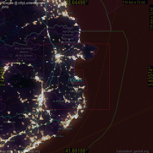
80.47%Clear (daylight) street map image can be seen on geolist.org.
Map coordinates:
42° 38' 41.9" North, 2° 25' 46.2" East
42° 7' 32.2" North, 3° 7' 57.4" East
41° 36' 7.1" North, 3° 50' 8.7" East
Some cities around l'Escala sort by population:
• Girona
29.9 km =18.6 mi,  238°
238°
• Figueres
21.1 km =13.1 mi,  318°
318°
• Palafrugell
23.3 km =14.5 mi,  173°
173°
• Roses
15.6 km =9.7 mi,  13°
13°
• Castelló d'Empúries
15.3 km =9.5 mi,  341°
341°
• Torroella de Montgrí
9.2 km =5.7 mi,  182°
182°
• la Bisbal d'Empordà
20.7 km =12.9 mi,  199°
199°
• Empuriabrava
13.5 km =8.4 mi,  355°
355°
3119779 (p: 10,140)
Sources (retrieved 2019-11-25):
» Earth at Night: Flat Maps 2012, 2016