Roses night lights from space
Night Light of Roses (Catalonia) from space (Spain) Src. Average luminocity for 10x10km area is 20.1924% and for 50x50km: 6.2383%.
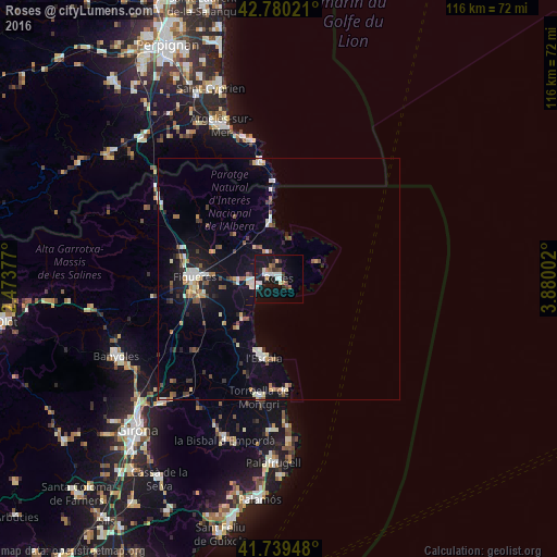
Analysis of Roses night lights 2016
Square area 10x10 km:
 4.85%
4.85%90-99
3.64%80-89
0.3%70-79
0.76%60-69
2.27%50-59
1.82%40-49
1.52%30-39
2.88%20-29
3.48%10-19
30.76%0-9
47.73%Square area 50x50 km:
0.86%90-99
0.92%80-89
0.53%70-79
0.5%60-69
0.74%50-59
0.74%40-49
0.82%30-39
0.84%20-29
1.03%10-19
5.22%0-9
87.79%Clear (daylight) street map image can be seen on geolist.org.
Map coordinates:
42° 46' 48.8" North, 2° 28' 25.6" East
42° 15' 43.2" North, 3° 10' 36.8" East
41° 44' 22.1" North, 3° 52' 48.1" East
Some cities around Roses sort by population:
• Figueres
17.7 km =11 mi,  271°
271°
• Castelló d'Empúries
8.4 km =5.2 mi, 266°
• Torroella de Montgrí
24.7 km =15.3 mi,  189°
189°
• la Bisbal d'Empordà
36.2 km =22.5 mi,  196°
196°
• l'Escala
15.6 km =9.7 mi, 193°
• Argeles, FR
34.1 km =21.2 mi,  338°
338°
• Empuriabrava
4.9 km =3 mi,  250°
250°
• Banyuls de la Marenda, FR
25 km =15.5 mi,  350°
350°
3111348 (p: 20,197)
Sources (retrieved 2019-11-25):
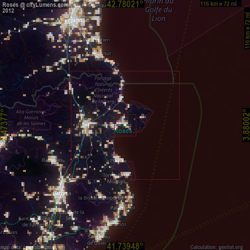
» Earth at Night: Flat Maps 2012, 2016