Figueres night lights from space
Night Light of Figueres (Catalonia) from space (Spain) Src. Average luminocity for 10x10km area is 36.5152% and for 50x50km: 8.0221%.
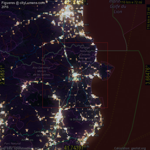
Analysis of Figueres night lights 2016
Square area 10x10 km:
 5%
5%90-99
8.03%80-89
3.64%70-79
4.09%60-69
5.91%50-59
4.55%40-49
2.58%30-39
4.09%20-29
9.7%10-19
41.82%0-9
10.61%Square area 50x50 km:
0.98%90-99
1.09%80-89
0.84%70-79
0.63%60-69
1%50-59
1.01%40-49
1.08%30-39
0.99%20-29
1.25%10-19
7.15%0-9
83.99%Clear (daylight) street map image can be seen on geolist.org.
Map coordinates:
42° 47' 4.7" North, 2° 15' 30.6" East
42° 15' 59.2" North, 2° 57' 41.9" East
41° 44' 38.3" North, 3° 39' 53.1" East
Some cities around Figueres sort by population:
• Roses
17.7 km =11 mi,  91°
91°
• Banyoles
23.1 km =14.4 mi,  223°
223°
• Castelló d'Empúries
9.3 km =5.8 mi,  96°
96°
• Torroella de Montgrí
28.4 km =17.6 mi,  151°
151°
• l'Escala
21.1 km =13.1 mi,  138°
138°
• Ceret, FR
30 km =18.6 mi,  324°
324°
• Empuriabrava
13.3 km =8.3 mi, 99°
• Banyuls de la Marenda, FR
27.8 km =17.3 mi,  29°
29°
3122453 (p: 43,330)
Sources (retrieved 2019-11-25):
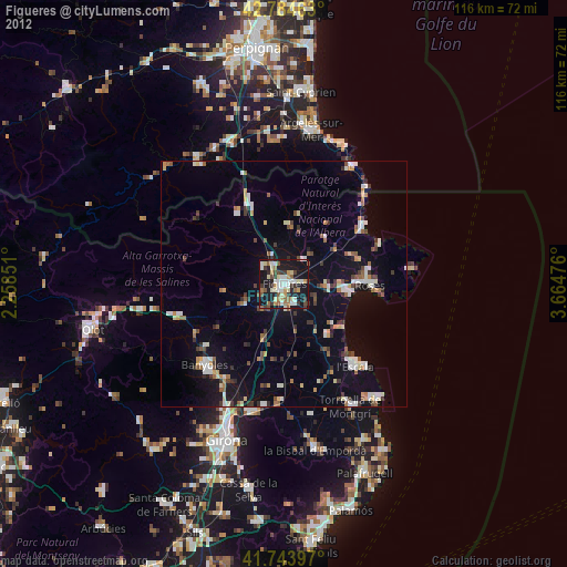
» Earth at Night: Flat Maps 2012, 2016