Argamasilla de Alba night lights from space
Night Light of Argamasilla de Alba (Castille-La Mancha) from space (Spain) Src. Average luminocity for 10x10km area is 8.7727% and for 50x50km: 2.9444%.
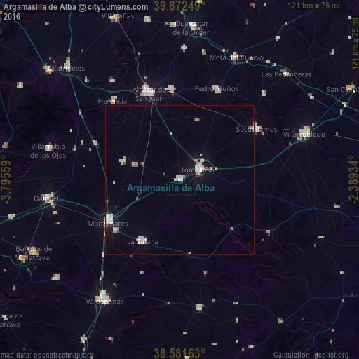
Analysis of Argamasilla de Alba night lights 2016
Square area 10x10 km:
 0%
0%90-99
2.6%80-89
2.6%70-79
0.32%60-69
0.65%50-59
0%40-49
0.32%30-39
0.32%20-29
0%10-19
8.28%0-9
84.9%Square area 50x50 km:
0.37%90-99
0.83%80-89
0.41%70-79
0.19%60-69
0.29%50-59
0.19%40-49
0.18%30-39
0.2%20-29
0.17%10-19
1.61%0-9
95.57%Clear (daylight) street map image can be seen on geolist.org.
Map coordinates:
39° 40' 21" North, 3° 47' 44.1" West
39° 7' 45" North, 3° 5' 32.9" West
38° 34' 53.9" North, 2° 23' 21.6" West
Some cities around Argamasilla de Alba sort by population:
• Tomelloso
6.9 km =4.3 mi,  62°
62°
• Alcázar de San Juan
30.7 km =19.1 mi,  341°
341°
• Manzanares
28 km =17.4 mi,  238°
238°
• La Solana
24.1 km =15 mi,  211°
211°
• Campo de Criptana
30.8 km =19.1 mi,  354°
354°
• Socuéllamos
31.2 km =19.4 mi, 56°
• Pedro Muñoz
32.9 km =20.4 mi,  22°
22°
• Membrilla
27.8 km =17.3 mi,  231°
231°
2521620 (p: 6,902)
Sources (retrieved 2019-11-25):
» Earth at Night: Flat Maps 2012, 2016