Écija night lights from space
Night Light of Écija (Andalusia) from space (Spain) Src. Average luminocity for 10x10km area is 16.414% and for 50x50km: 5.1955%.
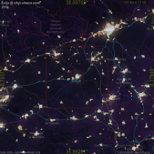
Analysis of Écija night lights 2016
Square area 10x10 km:
 1.62%
1.62%90-99
1.46%80-89
3.57%70-79
2.92%60-69
3.08%50-59
1.14%40-49
0.49%30-39
0.32%20-29
2.6%10-19
6.17%0-9
76.62%Square area 50x50 km:
0.31%90-99
0.59%80-89
0.83%70-79
0.75%60-69
0.97%50-59
0.42%40-49
0.54%30-39
0.88%20-29
0.77%10-19
2.25%0-9
91.7%Clear (daylight) street map image can be seen on geolist.org.
Map coordinates:
38° 5' 51.4" North, 5° 47' 8.6" West
37° 32' 31.9" North, 5° 4' 57.4" West
36° 58' 57.4" North, 4° 22' 46.1" West
Some cities around Écija sort by population:
• Palma del Río
24.8 km =15.4 mi,  315°
315°
• La Carlota
19.8 km =12.3 mi,  42°
42°
• Fuente Palmera
18.2 km =11.3 mi,  355°
355°
• Almodóvar del Río
30.4 km =18.9 mi,  10°
10°
• Posadas
29 km =18 mi, 355°
• Fuentes de Andalucía
24.8 km =15.4 mi,  249°
249°
• Herrera
28.5 km =17.7 mi,  133°
133°
• Santaella
21.2 km =13.2 mi,  83°
83°
2518770 (p: 40,400)
Sources (retrieved 2019-11-25):
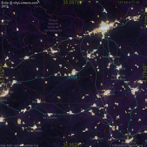
» Earth at Night: Flat Maps 2012, 2016