Dolores night lights from space
Night Light of Dolores (Valencia) from space (Spain) Src. Average luminocity for 10x10km area is 42.9388% and for 50x50km: 28.7705%.
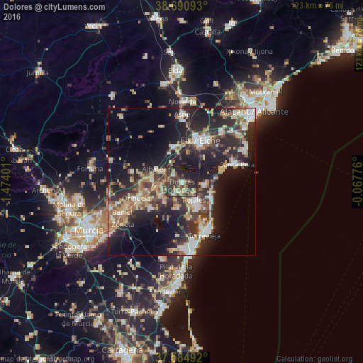
Analysis of Dolores night lights 2016
Square area 10x10 km:
 2.55%
2.55%90-99
5.44%80-89
4.25%70-79
5.95%60-69
7.48%50-59
8.33%40-49
12.59%30-39
14.29%20-29
16.84%10-19
20.07%0-9
2.21%Square area 50x50 km:
3.54%90-99
4.55%80-89
3.81%70-79
3.76%60-69
3.92%50-59
3.69%40-49
4.56%30-39
5.4%20-29
11.79%10-19
18.73%0-9
36.25%Clear (daylight) street map image can be seen on geolist.org.
Map coordinates:
38° 41' 27.3" North, 1° 28' 26.4" West
38° 8' 24.1" North, 0° 46' 15.2" West
37° 35' 5.7" North, 0° 4' 3.9" West
Some cities around Dolores sort by population:
• Rojales
7 km =4.3 mi,  145°
145°
• Almoradí
3.9 km =2.4 mi,  207°
207°
• Callosa de Segura
9.5 km =5.9 mi,  259°
259°
• Guardamar del Segura
11.5 km =7.1 mi,  118°
118°
• Albatera
9.7 km =6 mi,  296°
296°
• Cox
10.2 km =6.3 mi,  271°
271°
• Catral
3.6 km =2.2 mi,  309°
309°
• Benejúzar
9.2 km =5.7 mi,  220°
220°
2518842 (p: 7,132)
Sources (retrieved 2019-11-25):
» Earth at Night: Flat Maps 2012, 2016