Crevillente night lights from space
Night Light of Crevillente (Valencia) from space (Spain) Src. Average luminocity for 10x10km area is 24.1905% and for 50x50km: 28.0798%.
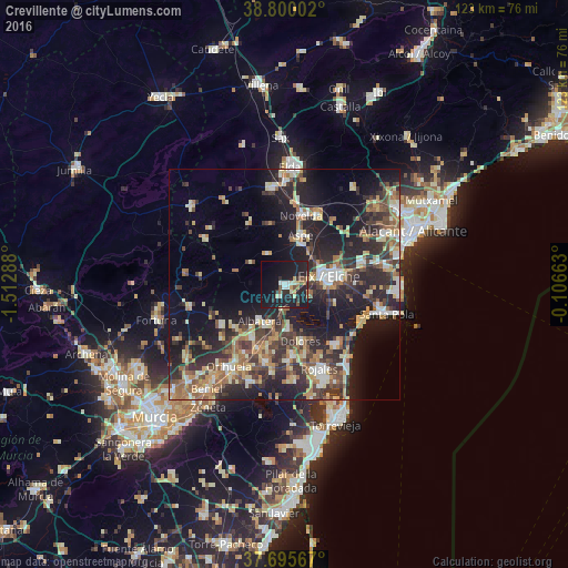
Analysis of Crevillente night lights 2016
Square area 10x10 km:
 1.87%
1.87%90-99
3.57%80-89
2.89%70-79
2.72%60-69
1.36%50-59
2.38%40-49
2.55%30-39
2.72%20-29
10.2%10-19
42.86%0-9
26.87%Square area 50x50 km:
2.73%90-99
4.02%80-89
3.89%70-79
3.66%60-69
4.25%50-59
4.13%40-49
4.84%30-39
5.6%20-29
10.99%10-19
19.06%0-9
36.83%Clear (daylight) street map image can be seen on geolist.org.
Map coordinates:
38° 48' 0.1" North, 1° 30' 46.4" West
38° 14' 59.8" North, 0° 48' 35.1" West
37° 41' 44.4" North, 0° 6' 23.9" West
Some cities around Crevillente sort by population:
• Elche
9.6 km =6 mi,  81°
81°
• Novelda
15.4 km =9.6 mi,  13°
13°
• Aspe
11.2 km =7 mi,  19°
19°
• Callosa de Segura
15.1 km =9.4 mi,  203°
203°
• Albatera
9.5 km =5.9 mi,  213°
213°
• Dolores
12.7 km =7.9 mi,  164°
164°
• Cox
13.8 km =8.6 mi, 209°
• Catral
10 km =6.2 mi,  176°
176°
2519110 (p: 28,609)
Sources (retrieved 2019-11-25):
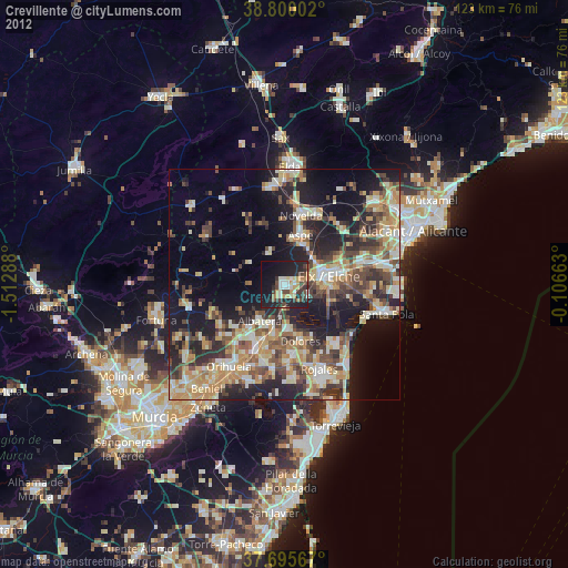
» Earth at Night: Flat Maps 2012, 2016