Ciudad Real night lights from space
Night Light of Ciudad Real (Castille-La Mancha) from space (Spain) Src. Average luminocity for 10x10km area is 28.1136% and for 50x50km: 2.9591%.
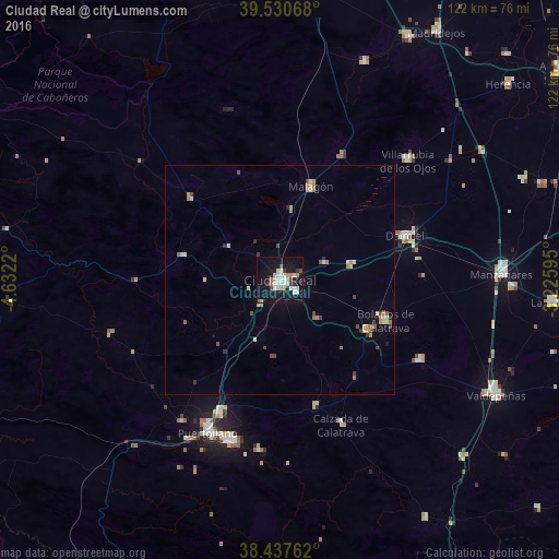
Analysis of Ciudad Real night lights 2016
Square area 10x10 km:
 4.87%
4.87%90-99
7.79%80-89
3.57%70-79
1.62%60-69
2.44%50-59
1.62%40-49
2.11%30-39
2.76%20-29
1.14%10-19
37.82%0-9
34.25%Square area 50x50 km:
0.22%90-99
0.5%80-89
0.5%70-79
0.34%60-69
0.48%50-59
0.21%40-49
0.46%30-39
0.4%20-29
0.19%10-19
1.59%0-9
95.11%Clear (daylight) street map image can be seen on geolist.org.
Map coordinates:
39° 31' 50.4" North, 4° 37' 55.9" West
38° 59' 10.5" North, 3° 55' 44.7" West
38° 26' 15.4" North, 3° 13' 33.4" West
Some cities around Ciudad Real sort by population:
• Puertollano
36.7 km =22.8 mi,  204°
204°
• Daimiel
28.7 km =17.8 mi,  71°
71°
• Miguelturra
4.1 km =2.5 mi,  126°
126°
• Bolaños de Calatrava
24.6 km =15.3 mi,  111°
111°
• Almagro
21.7 km =13.5 mi,  119°
119°
• Malagón
21.1 km =13.1 mi,  17°
17°
• Argamasilla de Calatrava
31.2 km =19.4 mi, 204°
• Moral de Calatrava
35 km =21.7 mi, 119°
2519402 (p: 74,014)
Sources (retrieved 2019-11-25):
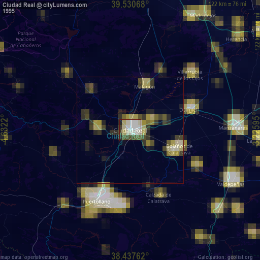
» NASA, Earths city lights 1995
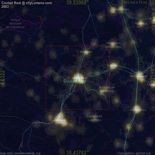
» NASA city lights 2003
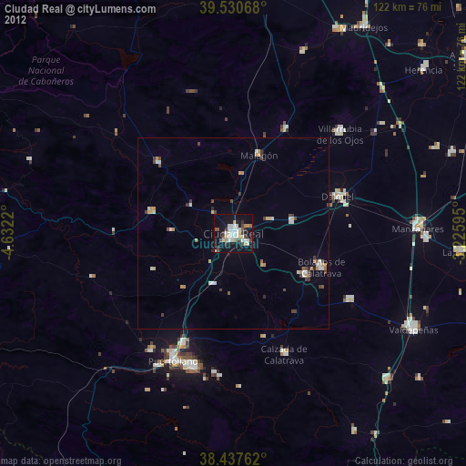
» Earth at Night: Flat Maps 2012, 2016