Argamasilla de Calatrava night lights from space
Night Light of Argamasilla de Calatrava (Castille-La Mancha) from space (Spain) Src. Average luminocity for 10x10km area is 23.1531% and for 50x50km: 3.0456%.
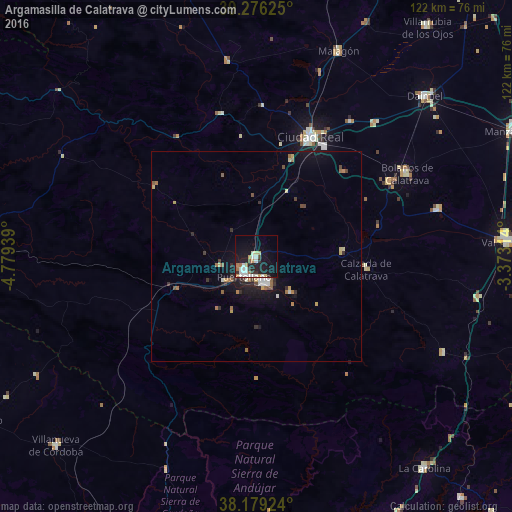
Analysis of Argamasilla de Calatrava night lights 2016
Square area 10x10 km:
 5.1%
5.1%90-99
4.08%80-89
2.04%70-79
2.38%60-69
3.06%50-59
1.02%40-49
0.34%30-39
3.23%20-29
5.61%10-19
25.85%0-9
47.28%Square area 50x50 km:
0.35%90-99
0.43%80-89
0.28%70-79
0.37%60-69
0.52%50-59
0.31%40-49
0.27%30-39
0.47%20-29
0.56%10-19
2.76%0-9
93.67%Clear (daylight) street map image can be seen on geolist.org.
Map coordinates:
39° 16' 34.5" North, 4° 46' 45.8" West
38° 43' 47.5" North, 4° 4' 34.6" West
38° 10' 45.3" North, 3° 22' 23.3" West
Some cities around Argamasilla de Calatrava sort by population:
• Ciudad Real
31.2 km =19.4 mi,  24°
24°
• Puertollano
5.5 km =3.4 mi,  209°
209°
• Miguelturra
30.6 km =19 mi,  31°
31°
• Bolaños de Calatrava
40.8 km =25.4 mi,  61°
61°
• Almagro
36.3 km =22.6 mi, 60°
• Malagón
52.2 km =32.4 mi, 21°
• Almodóvar del Campo
9.2 km =5.7 mi,  255°
255°
• Moral de Calatrava
44.6 km =27.7 mi,  75°
75°
2521619 (p: 5,371)
Sources (retrieved 2019-11-25):
» Earth at Night: Flat Maps 2012, 2016