Puertollano night lights from space
Night Light of Puertollano (Castille-La Mancha) from space (Spain) Src. Average luminocity for 10x10km area is 35.6956% and for 50x50km: 2.8282%.
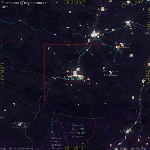
Analysis of Puertollano night lights 2016
Square area 10x10 km:
 7.99%
7.99%90-99
7.99%80-89
0.68%70-79
4.42%60-69
5.1%50-59
2.72%40-49
1.02%30-39
5.78%20-29
9.86%10-19
39.12%0-9
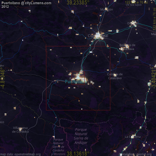
15.31%Square area 50x50 km:
0.35%90-99
0.43%80-89
0.24%70-79
0.37%60-69
0.49%50-59
0.29%40-49
0.21%30-39
0.46%20-29
0.56%10-19
2.48%0-9
94.11%Clear (daylight) street map image can be seen on geolist.org.
Map coordinates:
39° 14' 1.9" North, 4° 48' 37.7" West
38° 41' 13.6" North, 4° 6' 26.4" West
38° 8' 10.2" North, 3° 24' 15.2" West
Some cities around Puertollano sort by population:
• Ciudad Real
36.7 km =22.8 mi,  24°
24°
• Miguelturra
36.1 km =22.4 mi,  31°
31°
• Bolaños de Calatrava
45.6 km =28.3 mi,  57°
57°
• Almagro
41 km =25.5 mi, 56°
• Malagón
57.6 km =35.8 mi, 22°
• Almodóvar del Campo
6.7 km =4.2 mi,  291°
291°
• Argamasilla de Calatrava
5.5 km =3.4 mi, 29°
• Moral de Calatrava
48.6 km =30.2 mi,  70°
70°
2512177 (p: 51,842)
Sources (retrieved 2019-11-25):
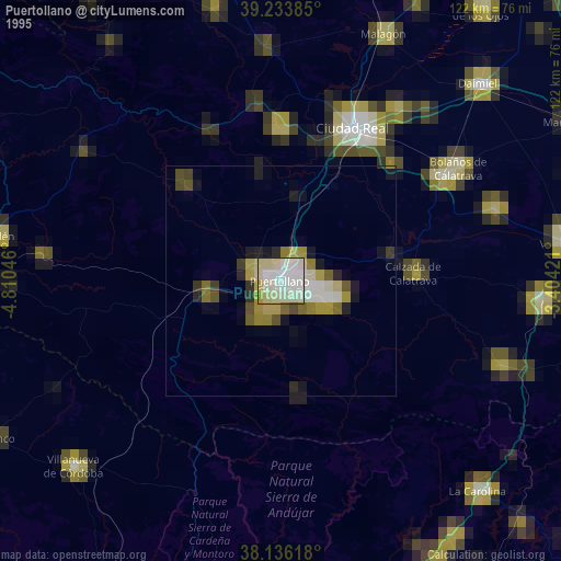
» NASA, Earths city lights 1995
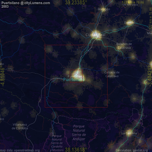
» NASA city lights 2003
» Earth at Night: Flat Maps 2012, 2016