Algeciras night lights from space
Night Light of Algeciras (Andalusia) from space (Spain) Src. Average luminocity for 10x10km area is 57.9652% and for 50x50km: 8.8371%.
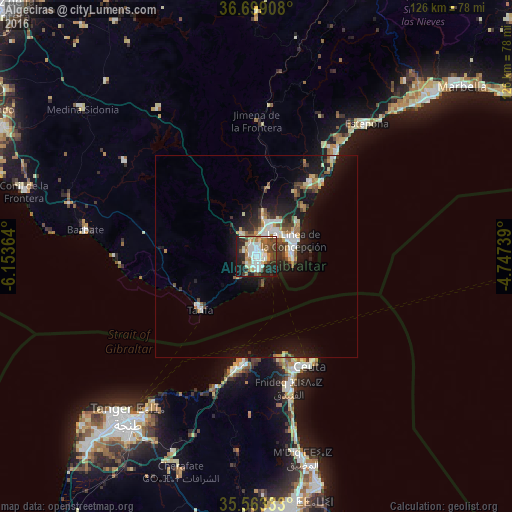
Analysis of Algeciras night lights 2016
Square area 10x10 km:
 15.02%
90-99
12.64%80-89
6.04%70-79
4.76%60-69
9.89%50-59
6.23%40-49
8.79%30-39
5.49%20-29
18.68%10-19
12.27%0-9
0.18%Square area 50x50 km:
1.49%90-99
1.36%80-89
0.86%70-79
0.84%60-69
1.27%50-59
0.84%40-49
1.25%30-39
1.28%20-29
2.23%10-19
8.38%0-9
80.21%Clear (daylight) street map image can be seen on geolist.org.
Map coordinates:
36° 41' 56.7" North, 6° 9' 13.1" West
36° 7' 59.7" North, 5° 27' 1.8" West
35° 33' 48" North, 4° 44' 50.6" West
Some cities around Algeciras sort by population:
• Ceuta
29.6 km =18.4 mi,  156°
156°
• La Línea de la Concepción
10 km =6.2 mi,  67°
67°
• Fnidek, MA
32.7 km =20.3 mi,  165°
165°
• San Roque
10.5 km =6.5 mi,  34°
34°
• Gibraltar, GI
8.9 km =5.5 mi,  81°
81°
• Los Barrios
6.8 km =4.2 mi,  326°
326°
• Tarifa
19.3 km =12 mi,  226°
226°
• Manilva
32.5 km =20.2 mi, 33°
2522013 (p: 116,209)
Sources (retrieved 2019-11-25):
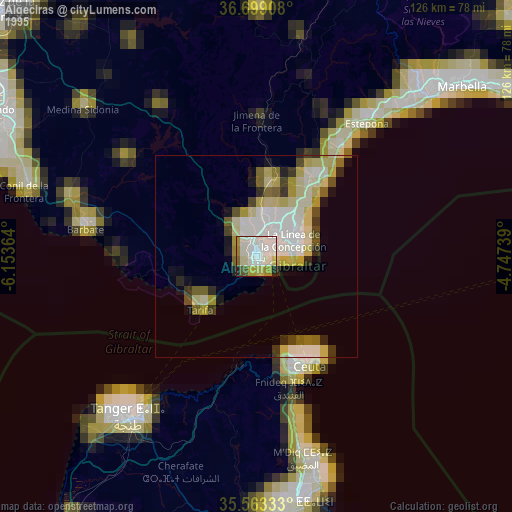
» NASA, Earths city lights 1995
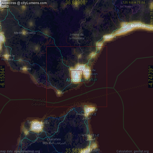
» NASA city lights 2003
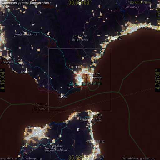
» Earth at Night: Flat Maps 2012, 2016