Calvià night lights from space
Night Light of Calvià (Balearic Islands) from space (Spain) Src. Average luminocity for 10x10km area is 23.2808% and for 50x50km: 11.08%.
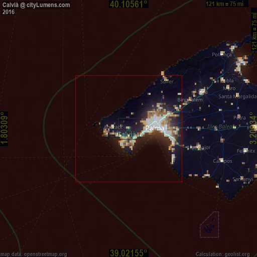
Analysis of Calvià night lights 2016
Square area 10x10 km:
 0.65%
0.65%90-99
3.9%80-89
2.44%70-79
2.27%60-69
4.22%50-59
2.92%40-49
1.79%30-39
1.62%20-29
10.88%10-19
37.99%0-9
31.33%Square area 50x50 km:
1.88%90-99
1.84%80-89
1.4%70-79
1.01%60-69
1.58%50-59
1.73%40-49
1.04%30-39
1.39%20-29
3.31%10-19
8.12%0-9
76.69%Clear (daylight) street map image can be seen on geolist.org.
Map coordinates:
40° 6' 20.2" North, 1° 48' 11.1" East
39° 33' 56.5" North, 2° 30' 22.4" East
39° 1' 17.6" North, 3° 12' 33.6" East
Some cities around Calvià sort by population:
• Palma
12.4 km =7.7 mi,  88°
88°
• Andratx
7.5 km =4.7 mi,  278°
278°
• Santa Ponsa
6.8 km =4.2 mi,  201°
201°
• Coll d'en Rabassa
16.2 km =10.1 mi,  95°
95°
• Es Molinar
14.5 km =9 mi, 91°
• Palmanova
5.4 km =3.4 mi,  148°
148°
• Son Ferrer
7.7 km =4.8 mi,  183°
183°
• Can Pastilla
18.4 km =11.4 mi, 100°
2520493 (p: 51,774)
Sources (retrieved 2019-11-25):
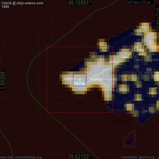
» NASA, Earths city lights 1995
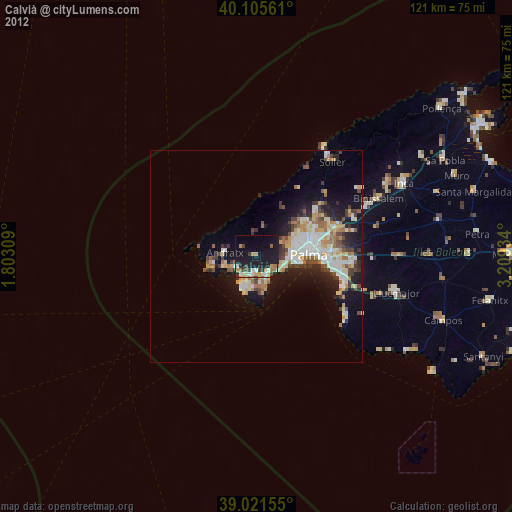
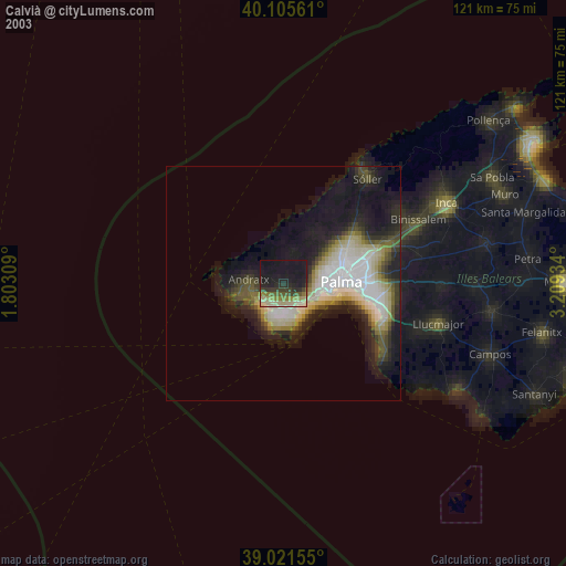
» NASA city lights 2003
» Earth at Night: Flat Maps 2012, 2016