Baena night lights from space
Night Light of Baena (Andalusia) from space (Spain) Src. Average luminocity for 10x10km area is 9.8656% and for 50x50km: 3.5947%.
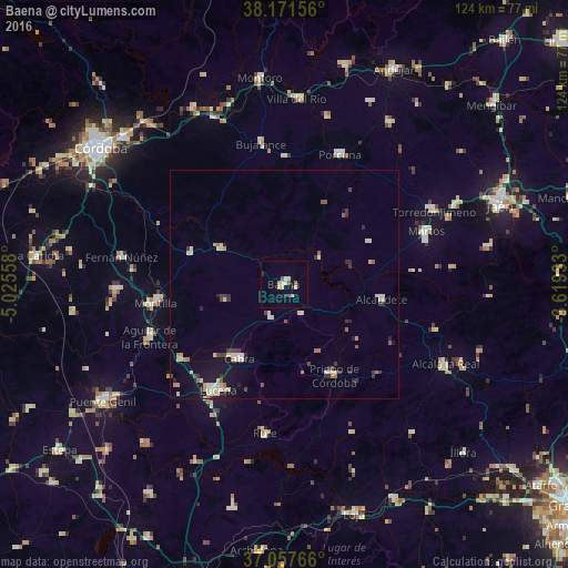
Analysis of Baena night lights 2016
Square area 10x10 km:
 0.85%
0.85%90-99
1.53%80-89
2.55%70-79
1.02%60-69
0.85%50-59
0.85%40-49
0.51%30-39
0.85%20-29
2.04%10-19
0.51%0-9
88.44%Square area 50x50 km:
0.25%90-99
0.6%80-89
0.8%70-79
0.34%60-69
0.34%50-59
0.38%40-49
0.25%30-39
0.74%20-29
0.57%10-19
1.8%0-9
93.92%Clear (daylight) street map image can be seen on geolist.org.
Map coordinates:
38° 10' 17.6" North, 5° 1' 32.1" West
37° 37' 0.1" North, 4° 19' 20.8" West
37° 3' 27.6" North, 3° 37' 9.6" West
Some cities around Baena sort by population:
• Lucena
27.2 km =16.9 mi,  211°
211°
• Montilla
28 km =17.4 mi,  263°
263°
• Priego de Córdoba
22.8 km =14.2 mi,  150°
150°
• Cabra
19.2 km =11.9 mi, 213°
• Alcaudete
21.3 km =13.2 mi,  97°
97°
• Castro del Río
16.2 km =10.1 mi,  300°
300°
• Nueva-Carteya
13.2 km =8.2 mi, 255°
• Doña Mencía
7.6 km =4.7 mi,  202°
202°
2521415 (p: 20,915)
Sources (retrieved 2019-11-25):
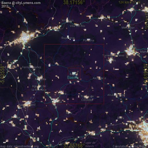
» Earth at Night: Flat Maps 2012, 2016