Alcaudete night lights from space
Night Light of Alcaudete (Andalusia) from space (Spain) Src. Average luminocity for 10x10km area is 4.3333% and for 50x50km: 4.2555%.
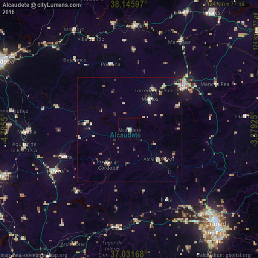
Analysis of Alcaudete night lights 2016
Square area 10x10 km:
 0.34%
0.34%90-99
1.36%80-89
1.7%70-79
0%60-69
0%50-59
0%40-49
0%30-39
0%20-29
1.36%10-19
0%0-9
95.24%Square area 50x50 km:
0.31%90-99
0.7%80-89
0.78%70-79
0.45%60-69
0.49%50-59
0.47%40-49
0.34%30-39
0.76%20-29
0.74%10-19
1.66%0-9
93.31%Clear (daylight) street map image can be seen on geolist.org.
Map coordinates:
38° 8' 45.5" North, 4° 47' 7.8" West
37° 35' 27.3" North, 4° 4' 56.5" West
37° 1' 54" North, 3° 22' 45.3" West
Some cities around Alcaudete sort by population:
• Martos
17.4 km =10.8 mi,  33°
33°
• Priego de Córdoba
19.7 km =12.2 mi,  210°
210°
• Alcalá la Real
20.1 km =12.5 mi,  135°
135°
• Baena
21.3 km =13.2 mi,  277°
277°
• Torre del Campo
25.8 km =16 mi,  39°
39°
• Torredonjimeno
22.5 km =14 mi, 29°
• Castillo de Locubín
14.2 km =8.8 mi,  119°
119°
• Doña Mencía
24.5 km =15.2 mi,  260°
260°
2522137 (p: 11,135)
Sources (retrieved 2019-11-25):
» Earth at Night: Flat Maps 2012, 2016