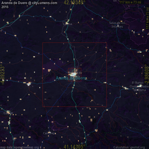
Aranda de Duero night lights from space
Night Light of Aranda de Duero (Castille and León) from space (Spain) Src. Average luminocity for 10x10km area is 24.1104% and for 50x50km: 1.7409%.

Analysis of Aranda de Duero night lights 2016
Square area 10x10 km:
 3.25%
3.25%90-99
5.19%80-89
3.08%70-79
0.65%60-69
4.87%50-59
1.95%40-49
0.49%30-39
4.06%20-29
5.36%10-19
25%0-9
46.1%Square area 50x50 km:
0.13%90-99
0.28%80-89
0.15%70-79
0.1%60-69
0.36%50-59
0.26%40-49
0.15%30-39
0.39%20-29
0.59%10-19
1.1%0-9
96.49%Clear (daylight) street map image can be seen on geolist.org.
Map coordinates:
42° 11' 36.6" North, 4° 23' 32.4" West
41° 40' 13.5" North, 3° 41' 21.1" West
41° 8' 35" North, 2° 59' 9.9" West
Some cities around Aranda de Duero sort by population:
• Burgos
74.6 km =46.4 mi,  359°
359°
• Gamonal
76.3 km =47.4 mi,  0°
0°
• Cuéllar
60 km =37.3 mi,  240°
240°
• Tudela de Duero
74.7 km =46.4 mi,  262°
262°
• Venta de Baños
72.1 km =44.8 mi,  292°
292°
• Peñafiel
36.1 km =22.4 mi, 257°
• Villamuriel de Cerrato
75.2 km =46.7 mi, 294°
• El Burgo de Osma
52.7 km =32.7 mi,  100°
100°
3129877 (p: 32,928)
Sources (retrieved 2019-11-25):
» Earth at Night: Flat Maps 2012, 2016