Gamonal night lights from space
Night Light of Gamonal (Castille and León) from space (Spain) Src. Average luminocity for 10x10km area is 57.2889% and for 50x50km: 4.8892%.
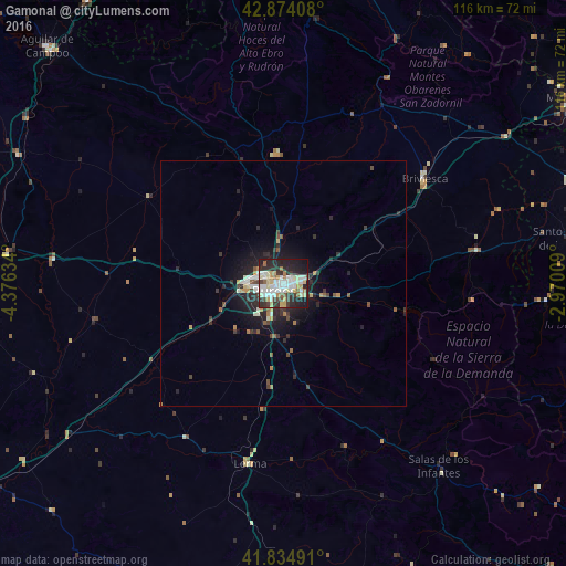
Analysis of Gamonal night lights 2016
Square area 10x10 km:
 14.76%
90-99
14.44%80-89
10%70-79
4.76%60-69
4.29%50-59
3.81%40-49
4.29%30-39
6.35%20-29
21.11%10-19
15.71%0-9
0.48%Square area 50x50 km:
0.76%90-99
0.88%80-89
0.52%70-79
0.44%60-69
0.42%50-59
0.58%40-49
0.54%30-39
0.77%20-29
2.09%10-19
3.69%0-9
89.3%Clear (daylight) street map image can be seen on geolist.org.
Map coordinates:
42° 52' 26.7" North, 4° 22' 34.8" West
42° 21' 23.9" North, 3° 40' 23.6" West
41° 50' 5.7" North, 2° 58' 12.3" West
Some cities around Gamonal sort by population:
• Burgos
2.9 km =1.8 mi,  233°
233°
• Miranda de Ebro
69.9 km =43.4 mi,  58°
58°
• Aranda de Duero
76.3 km =47.4 mi,  180°
180°
• Haro
72 km =44.7 mi,  70°
70°
• Aguilar de Campoo
68.3 km =42.4 mi,  315°
315°
• Briviesca
35.9 km =22.3 mi,  53°
53°
• Santo Domingo de la Calzada
59.8 km =37.2 mi,  81°
81°
• Medina de Pomar
65.5 km =40.7 mi,  13°
13°
3121663 (p: 60,000)
Sources (retrieved 2019-11-25):
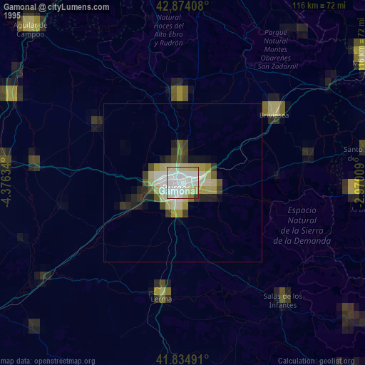
» NASA, Earths city lights 1995
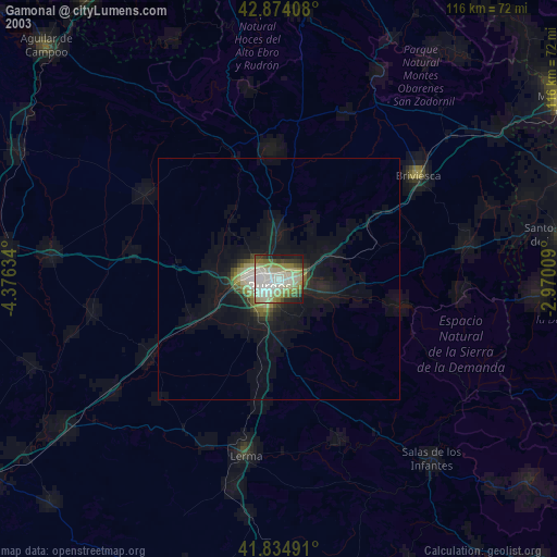
» NASA city lights 2003
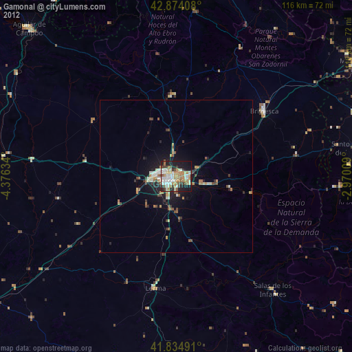
» Earth at Night: Flat Maps 2012, 2016