Antequera night lights from space
Night Light of Antequera (Andalusia) from space (Spain) Src. Average luminocity for 10x10km area is 15.8554% and for 50x50km: 3.8445%.
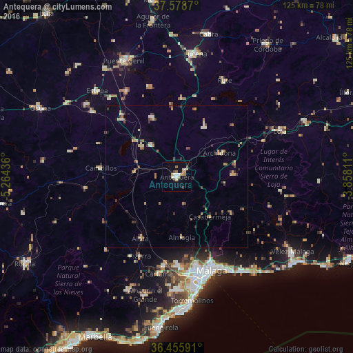
Analysis of Antequera night lights 2016
Square area 10x10 km:
 2.04%
2.04%90-99
2.72%80-89
2.72%70-79
1.36%60-69
4.08%50-59
0.34%40-49
1.02%30-39
1.36%20-29
0%10-19
5.27%0-9
79.08%Square area 50x50 km:
0.17%90-99
0.38%80-89
0.58%70-79
0.65%60-69
0.74%50-59
0.38%40-49
0.55%30-39
0.74%20-29
0.47%10-19
0.37%0-9
94.97%Clear (daylight) street map image can be seen on geolist.org.
Map coordinates:
37° 34' 43.3" North, 5° 15' 51.7" West
37° 1' 9.8" North, 4° 33' 40.4" West
36° 27' 21.3" North, 3° 51' 29.2" West
Some cities around Antequera sort by population:
• Cártama
34.9 km =21.7 mi,  190°
190°
• Alora
25.3 km =15.7 mi,  210°
210°
• Archidona
17.5 km =10.9 mi,  60°
60°
• Campillos
27 km =16.8 mi,  276°
276°
• Pizarra
31.1 km =19.3 mi,  204°
204°
• Casariche
35.2 km =21.9 mi,  330°
330°
• Alameda
22.8 km =14.2 mi,  337°
337°
• Villanueva del Trabuco
19.8 km =12.3 mi,  87°
87°
2521710 (p: 45,168)
Sources (retrieved 2019-11-25):
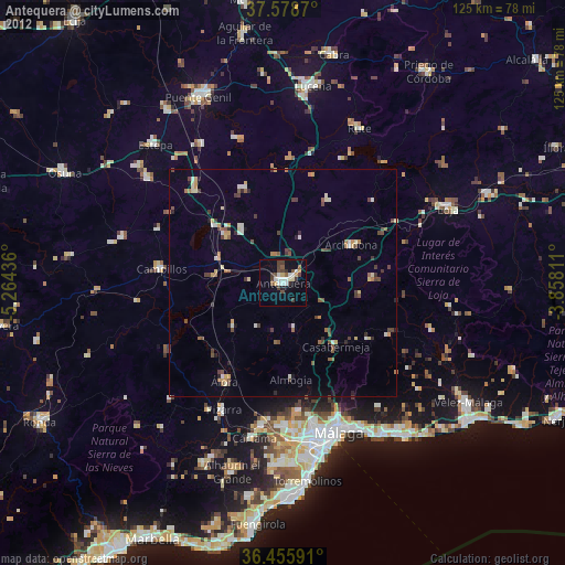
» Earth at Night: Flat Maps 2012, 2016