Tortosa night lights from space
Night Light of Tortosa (Catalonia) from space (Spain) Src. Average luminocity for 10x10km area is 20.8214% and for 50x50km: 5.1826%.
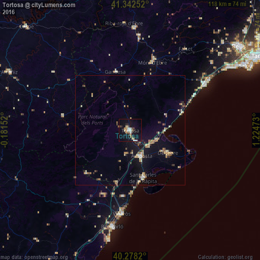
Analysis of Tortosa night lights 2016
Square area 10x10 km:
 2.72%
2.72%90-99
3.23%80-89
2.55%70-79
2.72%60-69
1.7%50-59
2.38%40-49
2.38%30-39
1.7%20-29
3.4%10-19
24.66%0-9
52.55%Square area 50x50 km:
0.32%90-99
0.51%80-89
0.87%70-79
0.71%60-69
0.72%50-59
0.8%40-49
0.57%30-39
0.53%20-29
0.99%10-19
3.87%0-9
90.11%Clear (daylight) street map image can be seen on geolist.org.
Map coordinates:
41° 20' 33.1" North, 0° 10' 53.5" West
40° 48' 45" North, 0° 31' 17.8" East
40° 16' 41.5" North, 1° 13' 29" East
Some cities around Tortosa sort by population:
• Vinaròs
38.2 km =23.7 mi,  185°
185°
• Benicarló
44.7 km =27.8 mi, 190°
• Amposta
12.4 km =7.7 mi,  157°
157°
• Sant Carles de la Ràpita
22.8 km =14.2 mi, 163°
• Mont-roig del Camp
47.8 km =29.7 mi,  50°
50°
• Deltebre
18.8 km =11.7 mi,  123°
123°
• Alcanar
30.1 km =18.7 mi, 186°
• Ulldecona
24.7 km =15.3 mi, 194°
3107677 (p: 35,143)
Sources (retrieved 2019-11-25):
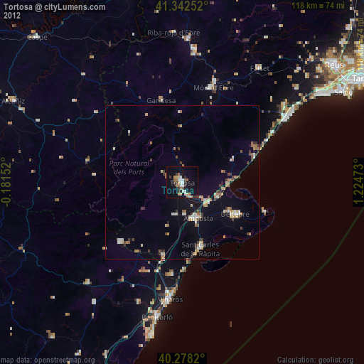
» Earth at Night: Flat Maps 2012, 2016