Delicias night lights from space
Night Light of Delicias (Aragon) from space (Spain) Src. Average luminocity for 10x10km area is 84.1786% and for 50x50km: 15.9629%.
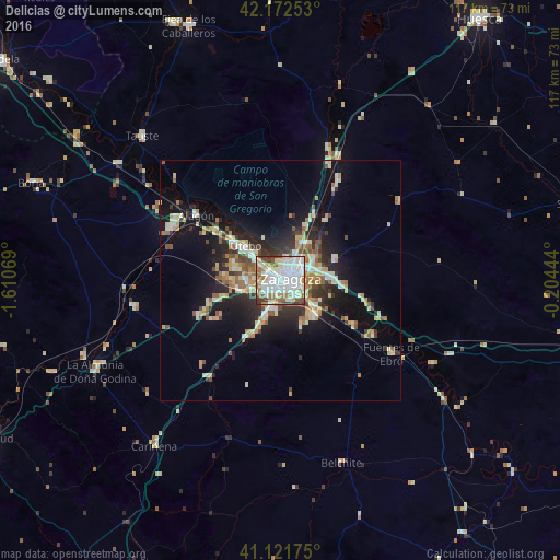
Analysis of Delicias night lights 2016
Square area 10x10 km:
 37.66%
90-99
23.86%80-89
4.22%70-79
6.98%60-69
10.88%50-59
5.84%40-49
5.03%30-39
5.52%20-29
0%10-19
0%0-9
0%Square area 50x50 km:
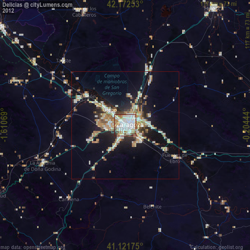
2.82%90-99
2.58%80-89
2.12%70-79
1.85%60-69
2.14%50-59
2.03%40-49
1.53%30-39
2.08%20-29
4.28%10-19
10.09%0-9
68.49%Clear (daylight) street map image can be seen on geolist.org.
Map coordinates:
42° 10' 21.1" North, 1° 36' 38.5" West
41° 38' 57.4" North, 0° 54' 27.3" West
41° 7' 18.3" North, 0° 12' 16" West
Some cities around Delicias sort by population:
• Zaragoza
2.6 km =1.6 mi,  73°
73°
• Oliver-Valdefierro
2.2 km =1.4 mi,  256°
256°
• Almozara
1.4 km =0.9 mi,  20°
20°
• Montecanal
3.4 km =2.1 mi,  229°
229°
• Utebo
10 km =6.2 mi,  310°
310°
• Tauste
41.4 km =25.7 mi,  316°
316°
• Alagón
22.1 km =13.7 mi, 307°
• Zuera
26.2 km =16.3 mi, 21°
6615440 (p: 110,520)
Sources (retrieved 2019-11-25):
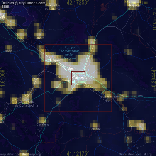
» NASA, Earths city lights 1995
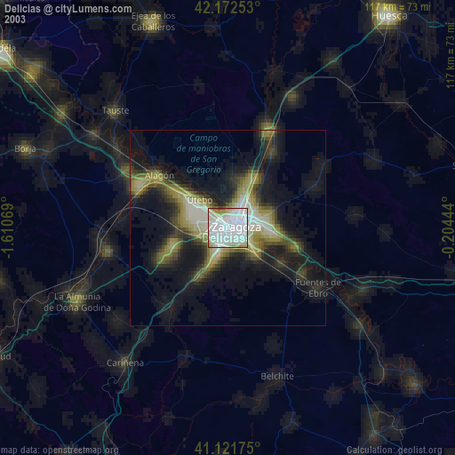
» NASA city lights 2003
» Earth at Night: Flat Maps 2012, 2016