Agramunt night lights from space
Night Light of Agramunt (Catalonia) from space (Spain) Src. Average luminocity for 10x10km area is 4.4026% and for 50x50km: 5.8562%.
Analysis of Agramunt night lights 2016
Square area 10x10 km:
 0.65%
0.65%90-99
0.49%80-89
0.81%70-79
0%60-69
0.65%50-59
0.65%40-49
1.46%30-39
0.49%20-29
0.65%10-19
0.65%0-9
93.51%Square area 50x50 km:
0.43%90-99
0.73%80-89
1.23%70-79
0.54%60-69
0.75%50-59
0.68%40-49
0.66%30-39
0.55%20-29
0.68%10-19
3.31%0-9
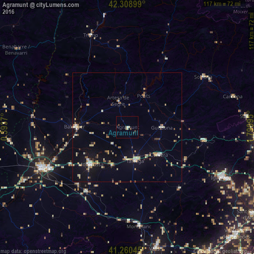
90.44%Clear (daylight) street map image can be seen on geolist.org.
Map coordinates:
42° 18' 32.4" North, 0° 23' 37.3" East
41° 47' 12.7" North, 1° 5' 48.6" East
41° 15' 37.6" North, 1° 47' 59.8" East
Some cities around Agramunt sort by population:
• Lleida
43.7 km =27.2 mi,  244°
244°
• Balaguer
23.7 km =14.7 mi,  271°
271°
• Tàrrega
15.9 km =9.9 mi,  167°
167°
• Mollerussa
23.6 km =14.7 mi,  223°
223°
• Cervera
19.5 km =12.1 mi,  131°
131°
• Solsona
41.7 km =25.9 mi,  56°
56°
• Montblanc
46 km =28.6 mi, 173°
• Tremp
45.4 km =28.2 mi,  338°
338°
3130911 (p: 5,351)
Sources (retrieved 2019-11-25):
» Earth at Night: Flat Maps 2012, 2016