Kafr az Zayyāt night lights from space
Night Light of Kafr az Zayyāt (Gharbia) from space (Egypt) Src. Average luminocity for 10x10km area is 84.3094% and for 50x50km: 72.2892%.
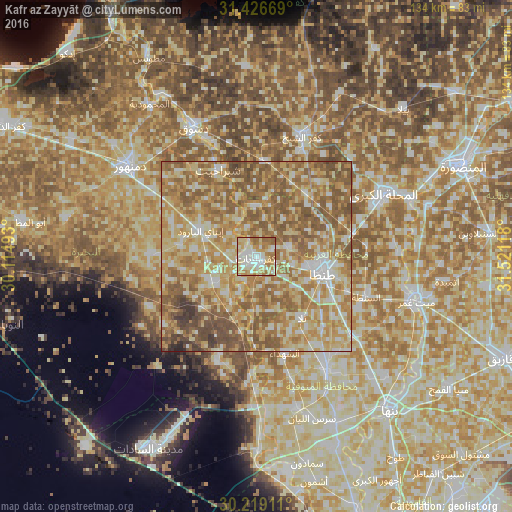
Analysis of Kafr az Zayyāt night lights 2016
Square area 10x10 km:
 18.53%
90-99
24.3%80-89
21.15%70-79
15.38%60-69
16.43%50-59
4.2%40-49
0%30-39
0%20-29
0%10-19
0%0-9
0%Square area 50x50 km:
6.92%90-99
11.54%80-89
19.1%70-79
16.49%60-69
18.97%50-59
19.03%40-49
6.02%30-39
1.58%20-29
0.35%10-19
0%0-9
0%Clear (daylight) street map image can be seen on geolist.org.
Map coordinates:
31° 25' 36.1" North, 30° 6' 53.7" East
30° 49' 29.3" North, 30° 49' 5" East
30° 13' 8.8" North, 31° 31' 16.2" East
Some cities around Kafr az Zayyāt sort by population:
• Tanda
18 km =11.2 mi,  102°
102°
• Shibīn al Kawm
35.4 km =22 mi,  148°
148°
• Basyūn
12.8 km =8 mi,  358°
358°
• Talā
20.1 km =12.5 mi,  143°
143°
• Ash Shuhadā’
26.5 km =16.5 mi,  162°
162°
• Ad Dilinjāt
27 km =16.8 mi,  270°
270°
• Kawm Ḩamādah
13.3 km =8.3 mi,  237°
237°
• Quţūr
21 km =13 mi,  38°
38°
354365 (p: 73,725)
Sources (retrieved 2019-11-25):
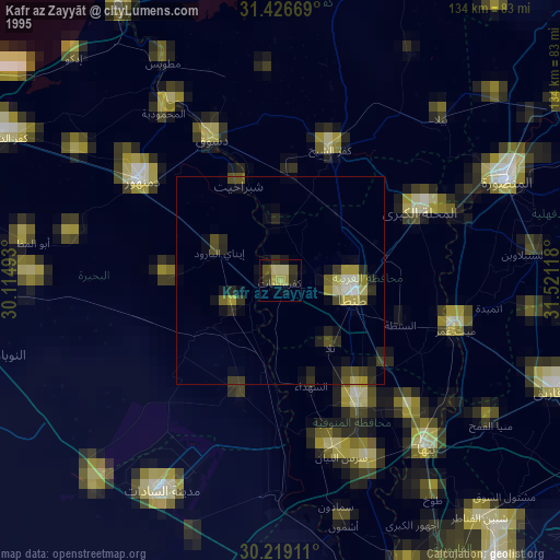
» NASA, Earths city lights 1995
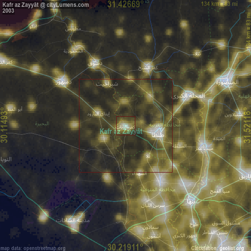
» NASA city lights 2003
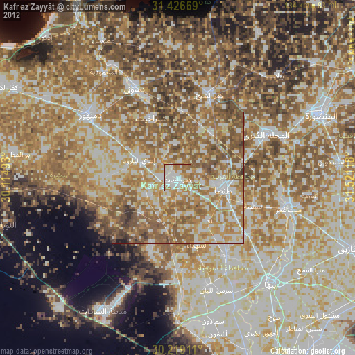
» Earth at Night: Flat Maps 2012, 2016