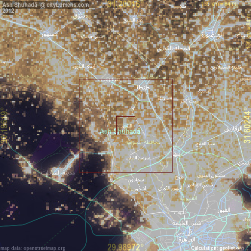
Ash Shuhadā’ night lights from space
Night Light of Ash Shuhadā’ (Monufia) from space (Egypt) Src. Average luminocity for 10x10km area is 74.0165% and for 50x50km: 72.3128%.
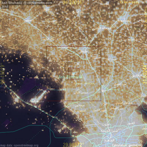
Analysis of Ash Shuhadā’ night lights 2016
Square area 10x10 km:
 5.49%
5.49%90-99
13.92%80-89
20.51%70-79
14.84%60-69
22.34%50-59
21.25%40-49
1.65%30-39
0%20-29
0%10-19
0%0-9
0%Square area 50x50 km:
9.44%90-99
18.6%80-89
22.16%70-79
14.12%60-69
11.5%50-59
8.1%40-49
4.48%30-39
2.42%20-29
1.81%10-19
3.56%0-9
3.81%Clear (daylight) street map image can be seen on geolist.org.
Map coordinates:
31° 12' 0.6" North, 30° 11' 46.3" East
30° 35' 48.6" North, 30° 53' 57.5" East
29° 59' 23" North, 31° 36' 8.8" East
Some cities around Ash Shuhadā’ sort by population:
• Tanda
23.5 km =14.6 mi,  24°
24°
• Shibīn al Kawm
11.6 km =7.2 mi,  115°
115°
• Munūf
14.9 km =9.3 mi,  167°
167°
• Kafr az Zayyāt
26.5 km =16.5 mi,  342°
342°
• Talā
10.2 km =6.3 mi, 24°
• Quwaysinā
25 km =15.5 mi,  98°
98°
• Kawm Ḩamādah
26.4 km =16.4 mi,  313°
313°
• Al Bājūr
22.7 km =14.1 mi,  144°
144°
359953 (p: 48,060)
Sources (retrieved 2019-11-25):
» Earth at Night: Flat Maps 2012, 2016