Sīdī Sālim night lights from space
Night Light of Sīdī Sālim (Kafr el-Sheikh) from space (Egypt) Src. Average luminocity for 10x10km area is 61.4406% and for 50x50km: 45.3108%.
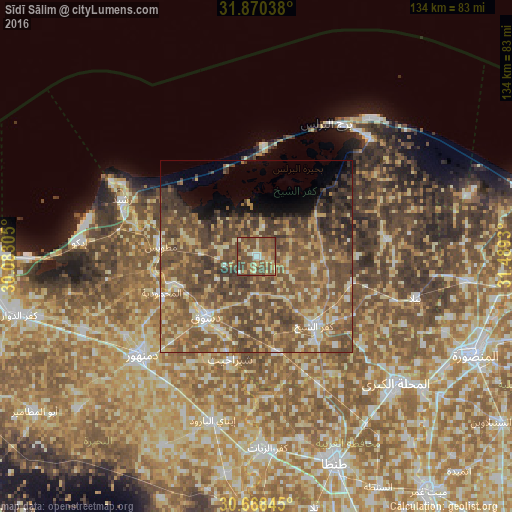
Analysis of Sīdī Sālim night lights 2016
Square area 10x10 km:
 2.1%
2.1%90-99
5.59%80-89
12.41%70-79
11.71%60-69
9.09%50-59
29.02%40-49
27.27%30-39
2.8%20-29
0%10-19
0%0-9
0%Square area 50x50 km:
2.05%90-99
3.97%80-89
7.99%70-79
6.87%60-69
8.91%50-59
16.53%40-49
18.48%30-39
8.24%20-29
3.38%10-19
4.18%0-9
19.4%Clear (daylight) street map image can be seen on geolist.org.
Map coordinates:
31° 52' 13.4" North, 30° 4' 59" East
31° 16' 16.8" North, 30° 47' 10.2" East
30° 40' 6.4" North, 31° 29' 21.5" East
Some cities around Sīdī Sālim sort by population:
• Damanhūr
40.1 km =24.9 mi,  228°
228°
• Kafr ash Shaykh
23 km =14.3 mi,  140°
140°
• Disūq
20.3 km =12.6 mi,  220°
220°
• Rosetta
37.8 km =23.5 mi,  292°
292°
• Fuwwah
23.8 km =14.8 mi,  251°
251°
• Basyūn
37 km =23 mi,  175°
175°
• Al Ḩāmūl
34.6 km =21.5 mi,  82°
82°
• Quţūr
37 km =23 mi,  154°
154°
348112 (p: 47,998)
Sources (retrieved 2019-11-25):
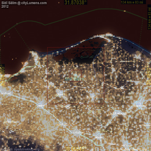
» Earth at Night: Flat Maps 2012, 2016